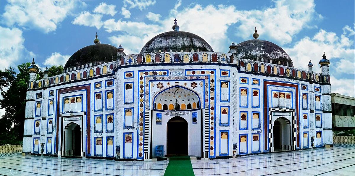
Arifil Mosque
A mosque at Sarail, Brahmanbaria, built in 1662.
Photo: Mohammad Hedayet Sarker / Wikimedia Commons · CC BY-SA 4.0 · Source
BrahmanbariaBrahmanbaria lies on the Meghna and Titas rivers, bordering Tripura in India to the east. It is home to the Titas gas field, one of the country's largest, and to Akhaura, a major railway junction, while Ashuganj on the Meghna is a busy river port. Heritage sites include the Arifil Mosque at Sarail (1662), the 18th-century Haripur Barabari palace and the Kharampur shrine. About 3.31 million people live in roughly 1,881 km² (2022 census).
Sources: Wikipedia: Brahmanbaria District, Wikipedia: List of districts of Bangladesh (area, 2022 census) · facts checked Oct 7, 2026
Sources: Wikipedia: List of districts of Bangladesh (area, 2022 census) · facts checked Oct 7, 2026
A mosque at Sarail, Brahmanbaria, built in 1662.
Photo: Mohammad Hedayet Sarker / Wikimedia Commons · CC BY-SA 4.0 · Source
Brahmanbaria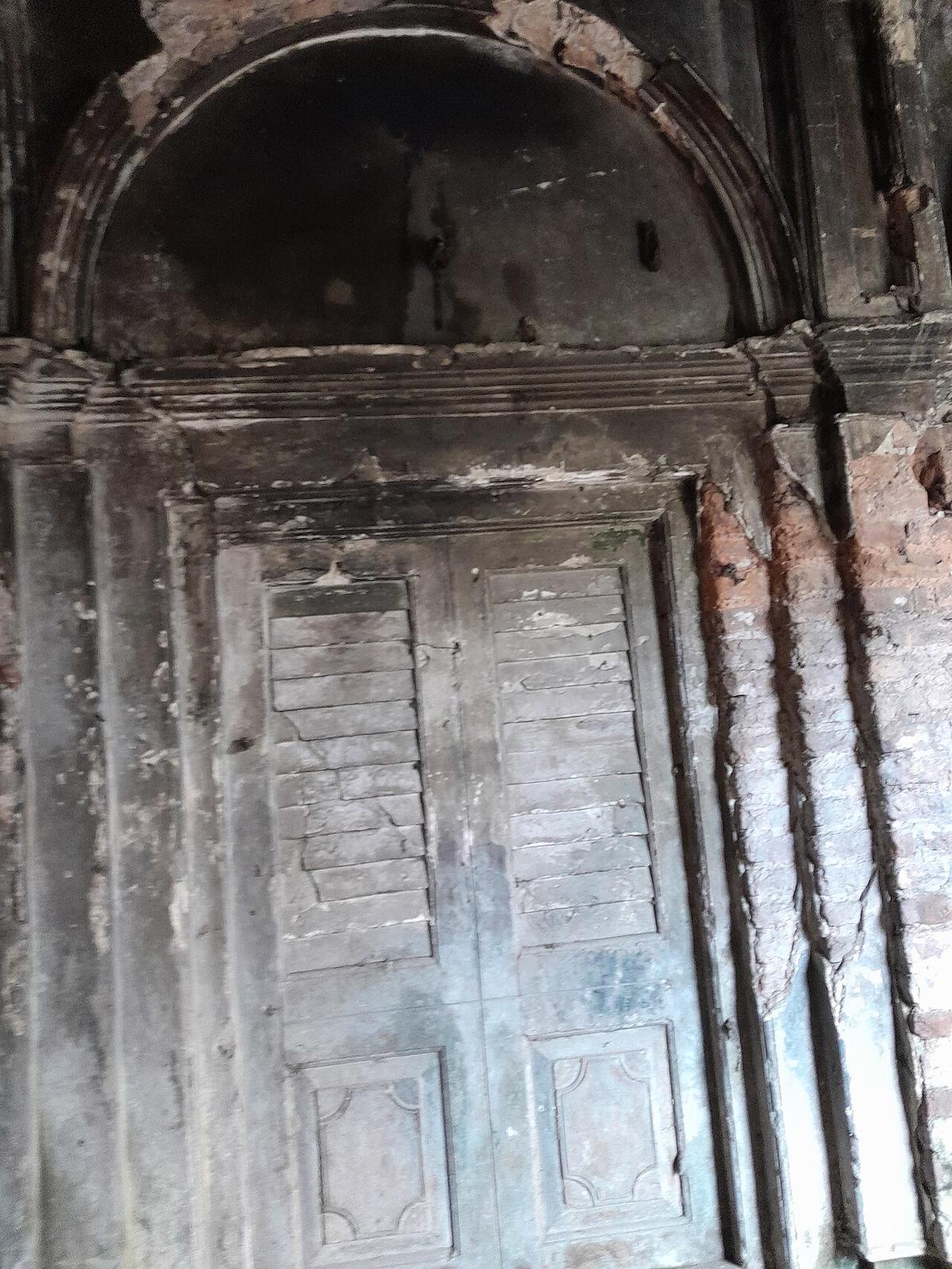
An 18th-century zamindar palace in Nasirnagar, Brahmanbaria.
Photo: Redmin / Wikimedia Commons · CC BY-SA 4.0 · Source
BrahmanbariaBrahmanbaria is in Bangladesh's Chattogram Division, one of the country's 64 districts.
Places added to this guide: Arifil Mosque, Haripur Barabari.
We don't have verified information on this yet, so no months are given.
The Titas river and gas field, the Akhaura rail junction, and heritage such as the Arifil Mosque at Sarail.
An 18th-century zamindar palace in Nasirnagar upazila.