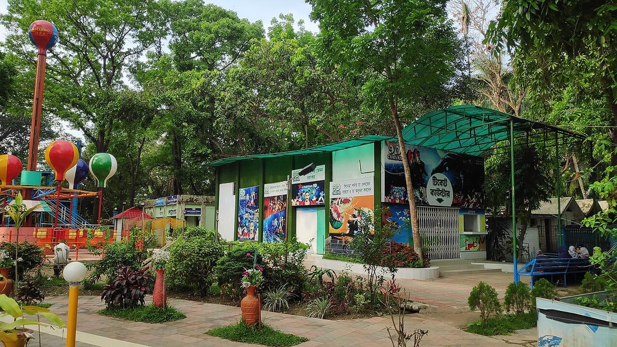
Dharmasagar
A large historic tank in Cumilla town, dug by a king of Tripura in the 15th century.
Photo: Shahidul Hasan Roman / Wikimedia Commons · CC BY-SA 4.0 · Source
CumillaCumilla lies about 100 km south-east of Dhaka, between the Meghna to the west and the Indian state of Tripura to the east, with the Gumti river flowing through it. The low Lalmai–Mainamati hills hold the ruins of Shalban Vihara, an ancient Buddhist monastery, and the Mainamati War Cemetery for soldiers of the Second World War. The town is known for its Khadi cloth and its sweets, and the Dhaka–Chattogram highway and railway pass through. About 6.21 million people live in its roughly 3,146 km² (2022 census).
Sources: Wikipedia: Comilla District, Wikipedia: List of districts of Bangladesh (area, 2022 census) · facts checked Oct 7, 2026
Sources: Wikipedia: List of districts of Bangladesh (area, 2022 census) · facts checked Oct 7, 2026
A large historic tank in Cumilla town, dug by a king of Tripura in the 15th century.
Photo: Shahidul Hasan Roman / Wikimedia Commons · CC BY-SA 4.0 · Source
Cumilla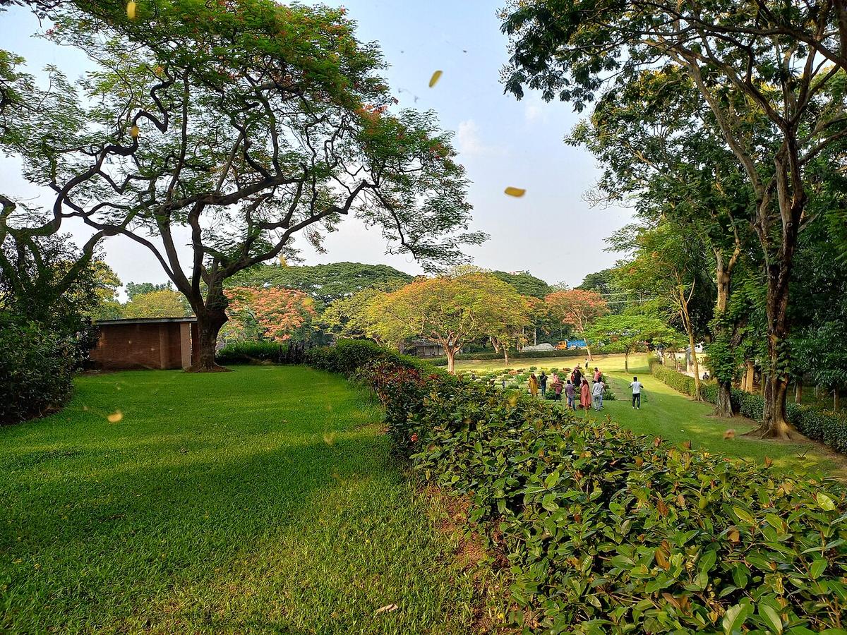
A Second World War cemetery near Cumilla.
Photo: CAPTAIN RAJU / Wikimedia Commons · CC BY-SA 4.0 · Source
Cumilla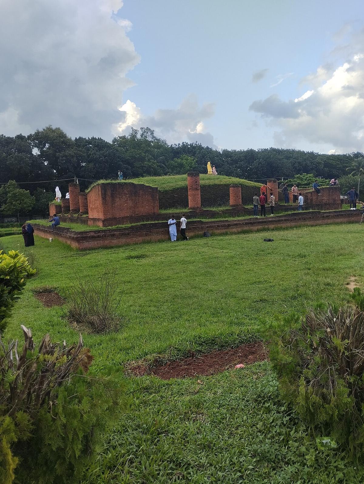
The ruins of an ancient Buddhist monastery in the Mainamati hills of Cumilla.
Photo: Yousuf enterprise / Wikimedia Commons · CC BY-SA 4.0 · Source
CumillaCumilla is in Bangladesh's Chattogram Division, one of the country's 64 districts.
Places added to this guide: Dharmasagar, Mainamati War Cemetery, Shalban Vihara.
We don't have verified information on this yet, so no months are given.
The ruins of an ancient Buddhist monastery in the Mainamati hills, one of the main archaeological sites of Cumilla.
Khadi cloth, its sweets, and the archaeological sites of the Lalmai–Mainamati hills.