Muhuri Project
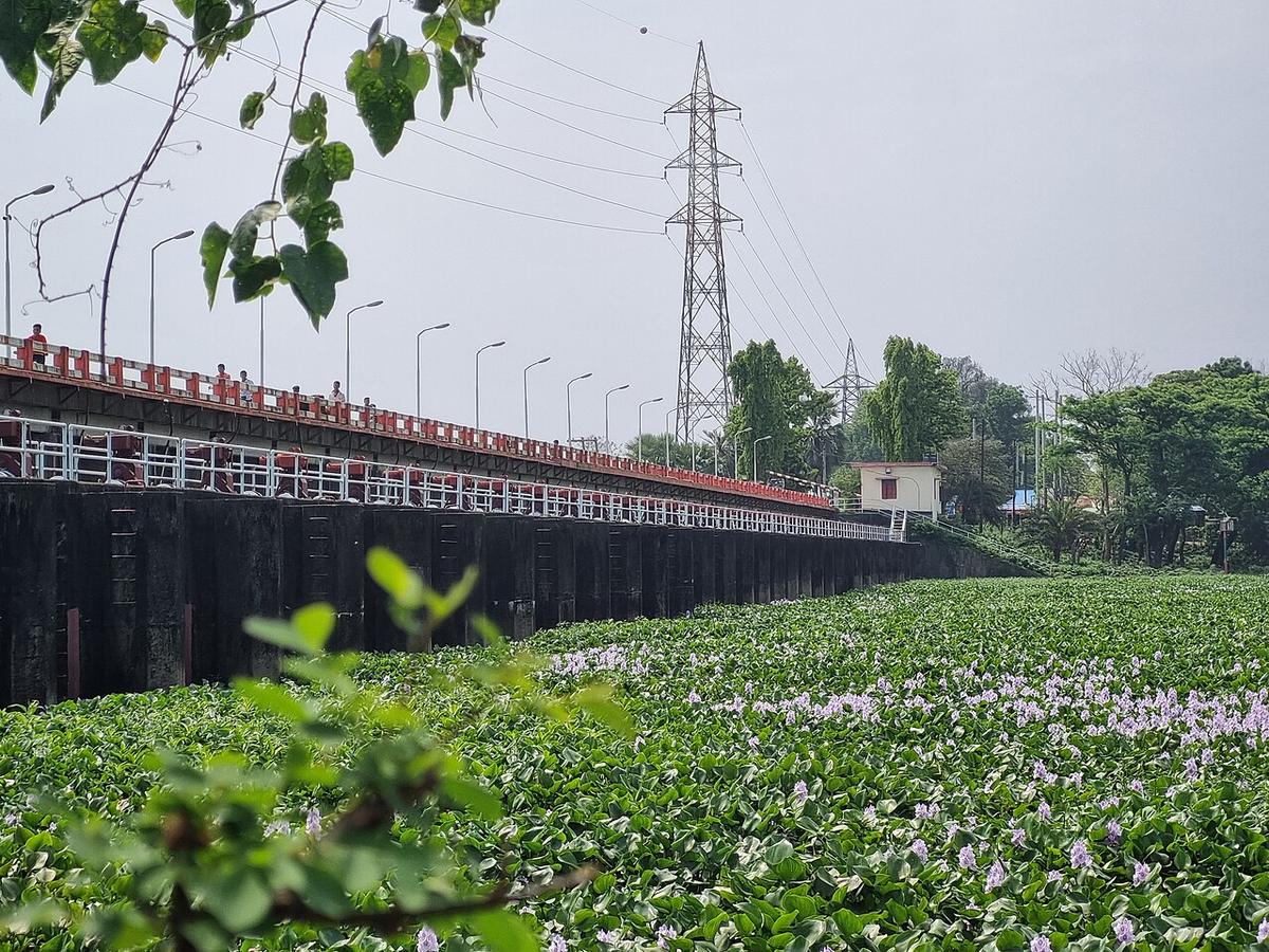
An irrigation scheme on the Muhuri river near the Feni coast, with wind turbines.
Photo: Bolideleoi / Wikimedia Commons · CC BY 4.0 · Source
FeniFeni is a small district of about 990 km² between Cumilla and Chattogram, bordering Tripura in India to the north and east and reaching the Bay of Bengal in the south. The Feni and Muhuri rivers drain it, and the Muhuri Irrigation Project near the coast also hosts wind-power turbines. Sitting on the Dhaka–Chattogram highway and railway, it is a key link between the port city and the rest of the country. About 1.65 million people live here (2022 census).
Sources: Wikipedia: Feni District, Wikipedia: List of districts of Bangladesh (area, 2022 census) · facts checked Oct 7, 2026
Sources: Wikipedia: List of districts of Bangladesh (area, 2022 census) · facts checked Oct 7, 2026
An irrigation scheme on the Muhuri river near the Feni coast, with wind turbines.
Photo: Bolideleoi / Wikimedia Commons · CC BY 4.0 · Source
FeniFeni is in Bangladesh's Chattogram Division, one of the country's 64 districts.
Places added to this guide: Muhuri Project.
We don't have verified information on this yet, so no months are given.
An irrigation scheme on the Muhuri river near the coast, which also has wind turbines generating electricity.
The Dhaka–Chattogram highway and railway both pass through it.