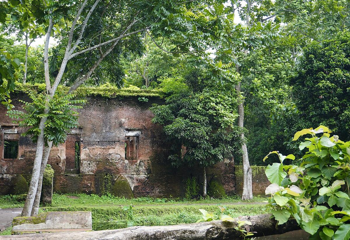
Dalal Bazar Zamindar Bari
The abandoned estate of zamindar Lakshmi Narayan Baishnab in Lakshmipur.
Photo: Redmin / Wikimedia Commons · CC BY 4.0 · Source
LakshmipurLakshmipur is a young, flat district of alluvial land along the wide Meghna, which forms its south-western border, with the Dakatia river further inland. Its chars, or river islands, keep forming and shifting. Heritage sites include the Tita Khan Jame Masjid and the dargah of Shah Miran at Kanchanpur, a Sufi site linked to the 14th century. About 1.94 million people live in roughly 1,440 km² (2022 census).
Sources: Wikipedia: Lakshmipur District, Wikipedia: List of districts of Bangladesh (area, 2022 census) · facts checked Oct 7, 2026
Sources: Wikipedia: List of districts of Bangladesh (area, 2022 census) · facts checked Oct 7, 2026
The abandoned estate of zamindar Lakshmi Narayan Baishnab in Lakshmipur.
Photo: Redmin / Wikimedia Commons · CC BY 4.0 · Source
Lakshmipur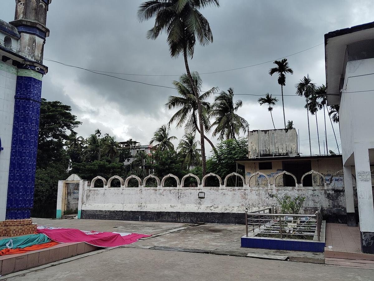
A mosque in Raipur known locally as the Jinn Mosque; its plaque names it the Maulana Abdullah Mosque.
Photo: Redmin / Wikimedia Commons · CC BY 4.0 · Source
LakshmipurLakshmipur is in Bangladesh's Chattogram Division, one of the country's 64 districts.
Places added to this guide: Dalal Bazar Zamindar Bari, Raipur "Jinn Mosque".
We don't have verified information on this yet, so no months are given.
The Meghna, which is very wide here and forms the district's south-western edge.
The Tita Khan Jame Masjid and the dargah of Shah Miran at Kanchanpur.