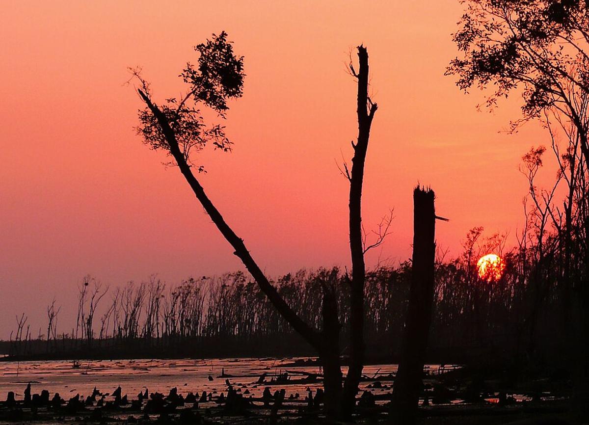
The Sundarbans
A mangrove forest on the south-west coast, threaded with rivers and channels.
Photo: joiseyshowaa / Wikimedia Commons · CC BY-SA 2.0 · Source
KhulnaKhulna district runs from the city of Khulna on the Rupsa and Bhairab rivers south to the Bay of Bengal, taking in part of the Sundarbans mangrove forest, home of the Bengal tiger. Tidal rivers such as the Shibsa and Pasur wind through its southern half. The city is a centre of shipbuilding and industry, with the Khan Jahan Ali Bridge crossing the Rupsa and the Khulna Divisional Museum in town. About 2.61 million people live in roughly 4,394 km² (2022 census).
Sources: Wikipedia: Khulna District, Wikipedia: List of districts of Bangladesh (area, 2022 census) · facts checked Oct 7, 2026
Sources: Wikipedia: List of districts of Bangladesh (area, 2022 census) · facts checked Oct 7, 2026
A mangrove forest on the south-west coast, threaded with rivers and channels.
Photo: joiseyshowaa / Wikimedia Commons · CC BY-SA 2.0 · Source
KhulnaKhulna is in Bangladesh's Khulna Division, one of the country's 64 districts.
Places added to this guide: The Sundarbans.
We don't have verified information on this yet, so no months are given.
Yes, part of the Sundarbans lies in the south of Khulna district; other parts are in Bagerhat and Satkhira.
The Rupsa and the Bhairab.