The Sundarbans
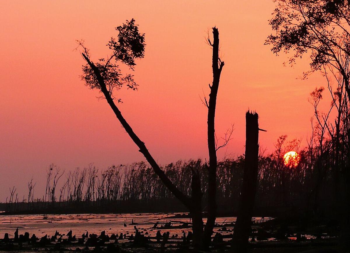
A mangrove forest on the south-west coast, threaded with rivers and channels.
Photo: joiseyshowaa / Wikimedia Commons · CC BY-SA 2.0 · Source
SatkhiraSatkhira is the south-western corner of Bangladesh, bordering West Bengal in India to the west and the Bay of Bengal to the south, where part of the Sundarbans covers its coast. Tidal rivers such as the Kholpetua, Raimangal, Ichamati and Kalindi lace the district, and shrimp farming in ghers is a major livelihood alongside mangoes and crabs. The Bhomra land port handles trade with India, and the Tetulia Jame Mosque dates from 1858–59. About 2.20 million people live in roughly 3,817 km² (2022 census).
Sources: Wikipedia: Satkhira District, Wikipedia: List of districts of Bangladesh (area, 2022 census) · facts checked Oct 7, 2026
Sources: Wikipedia: List of districts of Bangladesh (area, 2022 census) · facts checked Oct 7, 2026
A mangrove forest on the south-west coast, threaded with rivers and channels.
Photo: joiseyshowaa / Wikimedia Commons · CC BY-SA 2.0 · Source
SatkhiraSatkhira is in Bangladesh's Khulna Division, one of the country's 64 districts.
Places added to this guide: The Sundarbans.
We don't have verified information on this yet, so no months are given.
Yes, the Sundarbans covers part of its southern coast.
A local term for an enclosed pond used for shrimp and fish farming, common in Satkhira.