Dingaputa Haor
One of the large wetlands of south-eastern Netrokona, full of water in the monsoon.
NetrokonaNetrokona stretches from the foot of the Garo Hills on the Indian border in the north to the haors of the south-east, where wetlands such as Dingaputa fill in the monsoon. The Someshwari and Kangsha rivers cross it. Durgapur, in the hills, is the district's best-known destination, with white china-clay hills, and nearby Birishiri has a cultural academy of the Garo and other communities. About 2.32 million people live in roughly 2,794 km² (2022 census).
Sources: Wikipedia: Netrokona District, Wikipedia: List of districts of Bangladesh (area, 2022 census) · facts checked Oct 7, 2026
Sources: Wikipedia: List of districts of Bangladesh (area, 2022 census) · facts checked Oct 7, 2026
One of the large wetlands of south-eastern Netrokona, full of water in the monsoon.
NetrokonaFoothills of the Garo Hills in Netrokona with china-clay hills and a cultural academy.
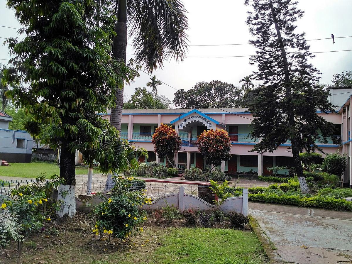
Photo: Salim_Khandoker / Wikimedia Commons · CC0 · Source
NetrokonaNetrokona is in Bangladesh's Mymensingh Division, one of the country's 64 districts.
Places added to this guide: Dingaputa Haor, Durgapur and Birishiri.
We don't have verified information on this yet, so no months are given.
Its location at the foot of the Garo Hills and its china-clay hills.
A cultural academy for the Garo and other indigenous communities.