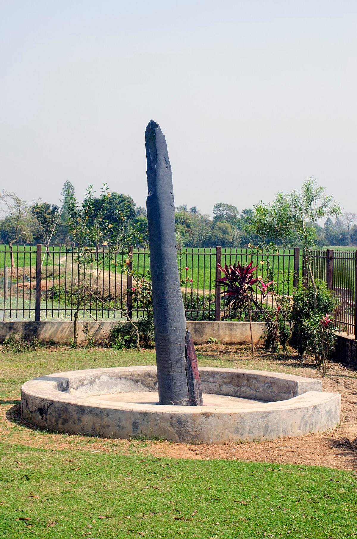
Bhimer Panti
An ancient stone Garuda pillar in Joypurhat district.
Photo: Rangan Datta Wiki / Wikimedia Commons · CC BY-SA 4.0 · Source
JoypurhatJoypurhat is a small farming district in the north of Rajshahi Division, between Dinajpur, Gaibandha, Bogura and Naogaon. Small rivers such as the Little Jamuna, Tulshiganga and Chiri cross fields of rice, potato and wheat. The district is known for the Joypurhat sugar mill, and its railway station dates back to 1884. It lies close to the Hili land port on the Indian border. About 956,000 people live in roughly 1,012 km² (2022 census).
Sources: Wikipedia: Joypurhat District, Wikipedia: List of districts of Bangladesh (area, 2022 census) · facts checked Oct 7, 2026
Sources: Wikipedia: List of districts of Bangladesh (area, 2022 census) · facts checked Oct 7, 2026
An ancient stone Garuda pillar in Joypurhat district.
Photo: Rangan Datta Wiki / Wikimedia Commons · CC BY-SA 4.0 · Source
JoypurhatAn archaeological site in Panchbibi, Joypurhat, spread along both banks of the Tulsiganga river.
JoypurhatJoypurhat is in Bangladesh's Rajshahi Division, one of the country's 64 districts.
Places added to this guide: Bhimer Panti, Patharghata Archaeological Site.
We don't have verified information on this yet, so no months are given.
Its sugar mill and farming of rice, potato and wheat.
Small rivers including the Little Jamuna, Tulshiganga and Chiri.