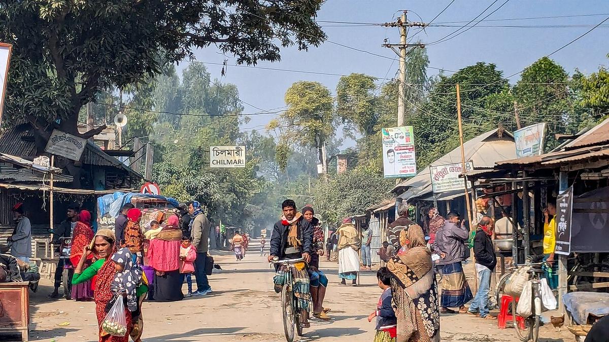
Chilmari River Port
A historic river port on the Brahmaputra in Kurigram.
Photo: Tanvir Rahat / Wikimedia Commons · CC BY-SA 4.0 · Source
KurigramKurigram is a river district in the far north, with a long border with India and the Brahmaputra, Dharla, Teesta and Dudhkumar rivers spreading across wide floodplains and chars. River islands such as Char Rajibpur depend on boats, and Chilmari is a historic river port. Cross-border trade passes through the Sonahat land port, and the Dharla Bridge links the north and south of the district. About 2.33 million people live in roughly 2,245 km² (2022 census).
Sources: Wikipedia: Kurigram District, Wikipedia: List of districts of Bangladesh (area, 2022 census) · facts checked Oct 7, 2026
Sources: Wikipedia: List of districts of Bangladesh (area, 2022 census) · facts checked Oct 7, 2026
A historic river port on the Brahmaputra in Kurigram.
Photo: Tanvir Rahat / Wikimedia Commons · CC BY-SA 4.0 · Source
KurigramKurigram is in Bangladesh's Rangpur Division, one of the country's 64 districts.
Places added to this guide: Chilmari River Port.
We don't have verified information on this yet, so no months are given.
The Brahmaputra, Dharla, Teesta and Dudhkumar, among others.
It is a historic river port on the Brahmaputra in Kurigram district.