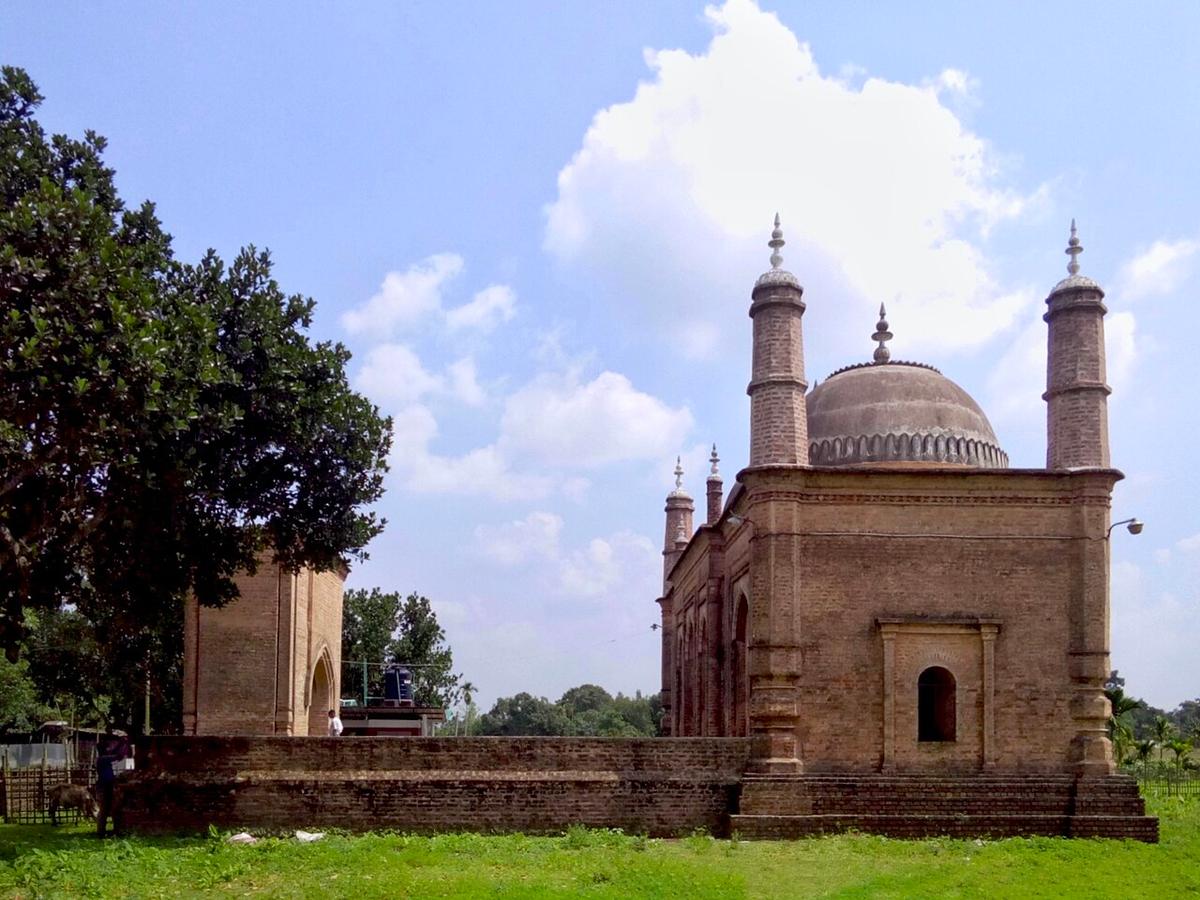
Balia Mosque
A historic mosque in Thakurgaon.
Photo: Pritom deb / Wikimedia Commons · CC BY-SA 4.0 · Source
ThakurgaonThakurgaon lies in the far north-west, bordering West Bengal and drained by the Tangon, Kulik and Nagor rivers. Its best-known sight is the Horinmari mango tree in Baliadangi, a centuries-old giant whose branches spread across about an acre. The district also has the Balia Mosque, an old palace at Ranisankail and newer tea gardens in Baliadangi. About 1.53 million people live in roughly 1,800 km² (2022 census).
Sources: Wikipedia: Thakurgaon District, Wikipedia: List of districts of Bangladesh (area, 2022 census) · facts checked Oct 7, 2026
Sources: Wikipedia: List of districts of Bangladesh (area, 2022 census) · facts checked Oct 7, 2026
A historic mosque in Thakurgaon.
Photo: Pritom deb / Wikimedia Commons · CC BY-SA 4.0 · Source
ThakurgaonA centuries-old giant mango tree in Baliadangi spreading over about an acre.
ThakurgaonThakurgaon is in Bangladesh's Rangpur Division, one of the country's 64 districts.
Places added to this guide: Balia Mosque, Horinmari Mango Tree.
We don't have verified information on this yet, so no months are given.
A centuries-old giant mango tree in Baliadangi whose branches spread over roughly an acre.
The Tangon, Kulik and Nagor, among others.