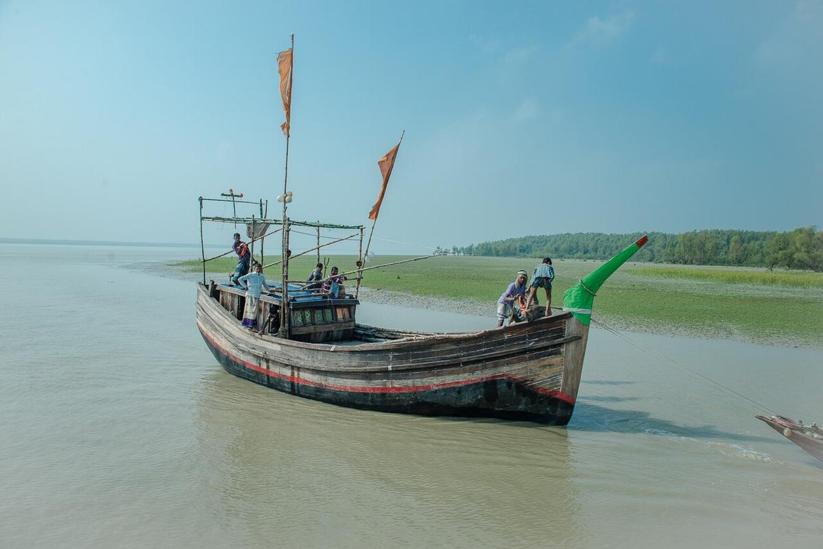
Char Kukri-Mukri
A mangrove-covered island wildlife sanctuary off Bhola.
Photo: HAHoque / Wikimedia Commons · CC BY-SA 4.0 · Source
BholaBhola is an island district where the Meghna meets the sea: Bhola Island, the largest island in Bangladesh, lies between the Meghna to the east and the Tentulia to the west. Most people here make their living from fishing, and the district is famous for hilsa. Offshore chars include Manpura and the mangrove-covered Char Kukri-Mukri, a wildlife sanctuary. There is no railway or airport; launches and steamers are the main way to arrive. About 1.93 million people live in roughly 3,403 km² (2022 census).
Sources: Wikipedia: Bhola District, Wikipedia: List of districts of Bangladesh (area, 2022 census) · facts checked Oct 7, 2026
Sources: Wikipedia: List of districts of Bangladesh (area, 2022 census) · facts checked Oct 7, 2026
A mangrove-covered island wildlife sanctuary off Bhola.
Photo: HAHoque / Wikimedia Commons · CC BY-SA 4.0 · Source
BholaAn island in the Meghna estuary off Bhola, visited for its quiet riverside landscapes.
BholaBhola is in Bangladesh's Barishal Division, one of the country's 64 districts.
Places added to this guide: Char Kukri-Mukri, Manpura Island.
We don't have verified information on this yet, so no months are given.
Yes, Bhola Island is the largest island in the country.
By river launch or steamer; the district has no railway or airport.