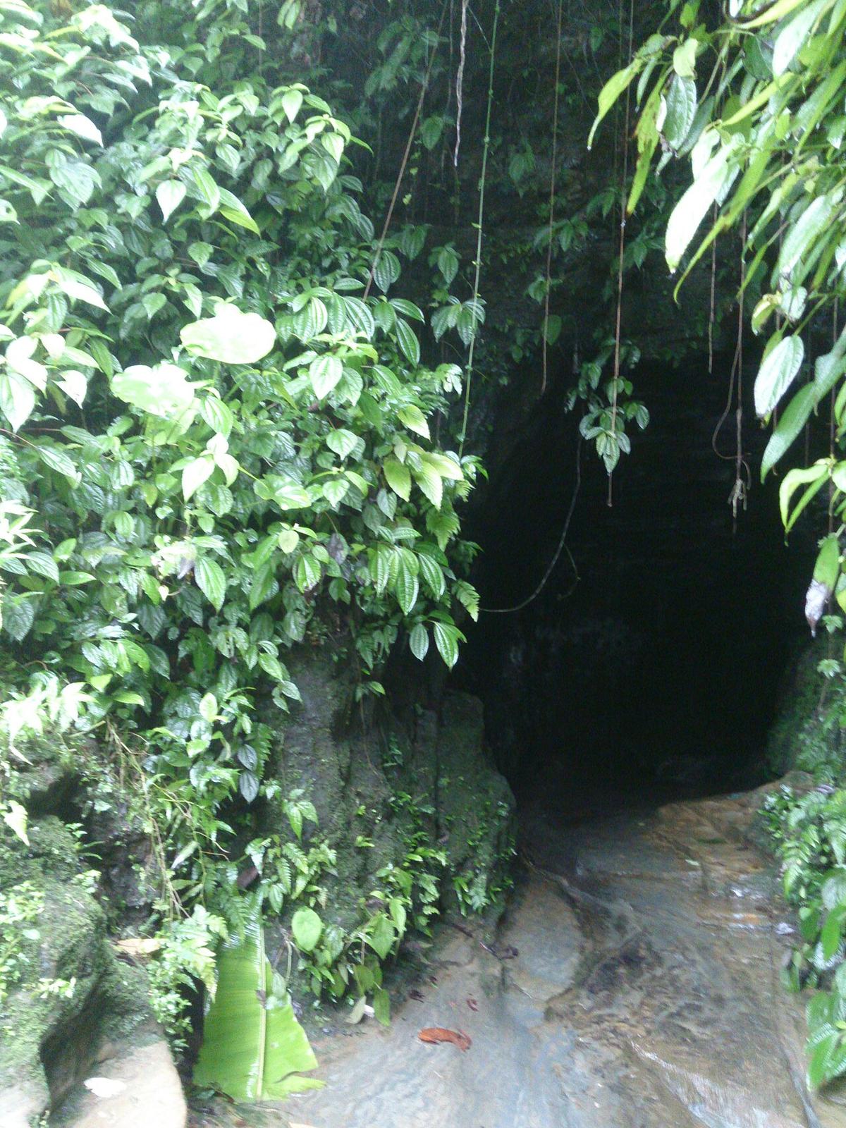
Alutila
A cave near Khagrachari town.
Photo: Sahed Mustopha / Wikimedia Commons · CC BY-SA 4.0 · Source
KhagrachariKhagrachari is the northern district of the Chittagong Hill Tracts, bordered by the Indian state of Tripura to the north and west. The Chengi, its longest river, runs through valleys where many families still practise jhum, or shifting, cultivation. Visitors come for the Alutila cave, the hilltop views of Konglak and the historic Rajbari of the Mong Circle. About 714,000 people live in roughly 2,749 km² (2022 census), and the local four-wheel-drive jeeps known as chander gari are the usual way around.
Sources: Wikipedia: Khagrachhari District, Wikipedia: List of districts of Bangladesh (area, 2022 census) · facts checked Oct 7, 2026
Sources: Wikipedia: List of districts of Bangladesh (area, 2022 census) · facts checked Oct 7, 2026
A cave near Khagrachari town.
Photo: Sahed Mustopha / Wikimedia Commons · CC BY-SA 4.0 · Source
KhagrachariKhagrachari is in Bangladesh's Chattogram Division, one of the country's 64 districts.
Places added to this guide: Alutila.
We don't have verified information on this yet, so no months are given.
A cave and hill area near Khagrachari town, one of the district's best-known attractions.
Shifting cultivation on hill slopes, still a main livelihood in Khagrachari.