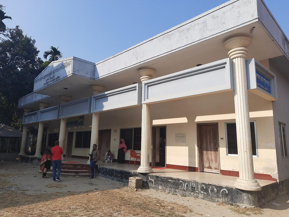
Mir Mosharraf Hossain Memorial
A memorial museum in Rajbari dedicated to the 19th-century writer Mir Mosharraf Hossain.
Photo: Ifteebd10 / Wikimedia Commons · CC BY-SA 4.0 · Source
RajbariRajbari sits on the south bank of the Padma opposite Manikganj, and its Daulatdia and Goalundo ghats have long been the ferry gateway between Dhaka and the south-west. Rivers such as the Gorai and Chandana cross the district, and the town grew around one of the region's early railway stations, opened in 1890. The name means palace, a reminder of its zamindar past. About 1.19 million people live in its roughly 1,092 km² (2022 census).
Sources: Wikipedia: Rajbari District, Wikipedia: List of districts of Bangladesh (area, 2022 census) · facts checked Oct 7, 2026
Sources: Wikipedia: List of districts of Bangladesh (area, 2022 census) · facts checked Oct 7, 2026
A memorial museum in Rajbari dedicated to the 19th-century writer Mir Mosharraf Hossain.
Photo: Ifteebd10 / Wikimedia Commons · CC BY-SA 4.0 · Source
RajbariRajbari is in Bangladesh's Dhaka Division, one of the country's 64 districts.
Places added to this guide: Mir Mosharraf Hossain Memorial.
We don't have verified information on this yet, so no months are given.
A major Padma ferry terminal in Rajbari, connecting to Paturia on the Manikganj side.
It means palace in Bengali, reflecting the area's history of zamindar estates.