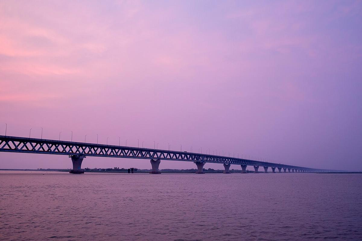
Padma Bridge
The road and rail bridge over the Padma linking Mawa in Munshiganj with Janjira in Shariatpur.
Photo: Jubair Bin Iqbal / Wikimedia Commons · CC BY-SA 4.0 · Source
ShariatpurShariatpur lies between the Padma to the north and the Meghna to the east, a low riverine district of about 1,174 km² with roughly 1.29 million people (2022 census). It is named after Haji Shariatullah, leader of the 19th-century Faraizi movement. The Padma Bridge and the Dhaka–Mawa–Bhanga expressway have made it a short drive from the capital, and many families here have relatives working abroad, especially in Italy.
Sources: Wikipedia: Shariatpur District, Wikipedia: List of districts of Bangladesh (area, 2022 census) · facts checked Oct 7, 2026
Sources: Wikipedia: List of districts of Bangladesh (area, 2022 census) · facts checked Oct 7, 2026
The road and rail bridge over the Padma linking Mawa in Munshiganj with Janjira in Shariatpur.
Photo: Jubair Bin Iqbal / Wikimedia Commons · CC BY-SA 4.0 · Source
ShariatpurShariatpur is in Bangladesh's Dhaka Division, one of the country's 64 districts.
Places added to this guide: Padma Bridge.
We don't have verified information on this yet, so no months are given.
Haji Shariatullah (1781–1840), leader of the Faraizi movement.
The Padma to the north and the Meghna to the east.