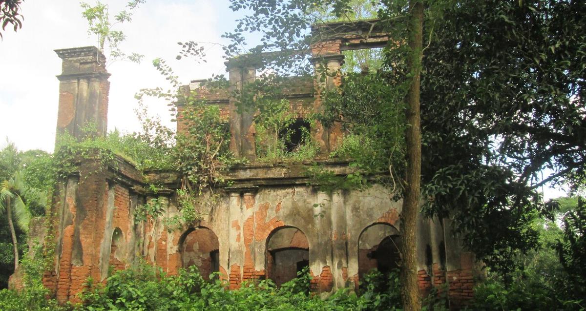
Bhatpara Neelkuthi
A colonial-era indigo planters' house near Meherpur.
Photo: Jamirul071 / Wikimedia Commons · CC BY-SA 4.0 · Source
MeherpurMeherpur is a small district on the border with West Bengal, drained by the Bhairab and Mathabhanga rivers. It holds a central place in the country's history: on 17 April 1971 the Provisional Government of Bangladesh was sworn in at Baidyanathtala, a village later renamed Mujibnagar, where a memorial complex now stands. The colonial-era indigo house at Bhatpara is another landmark. About 705,000 people live in roughly 742 km² (2022 census).
Sources: Wikipedia: Meherpur District, Wikipedia: List of districts of Bangladesh (area, 2022 census) · facts checked Oct 7, 2026
Sources: Wikipedia: List of districts of Bangladesh (area, 2022 census) · facts checked Oct 7, 2026
A colonial-era indigo planters' house near Meherpur.
Photo: Jamirul071 / Wikimedia Commons · CC BY-SA 4.0 · Source
Meherpur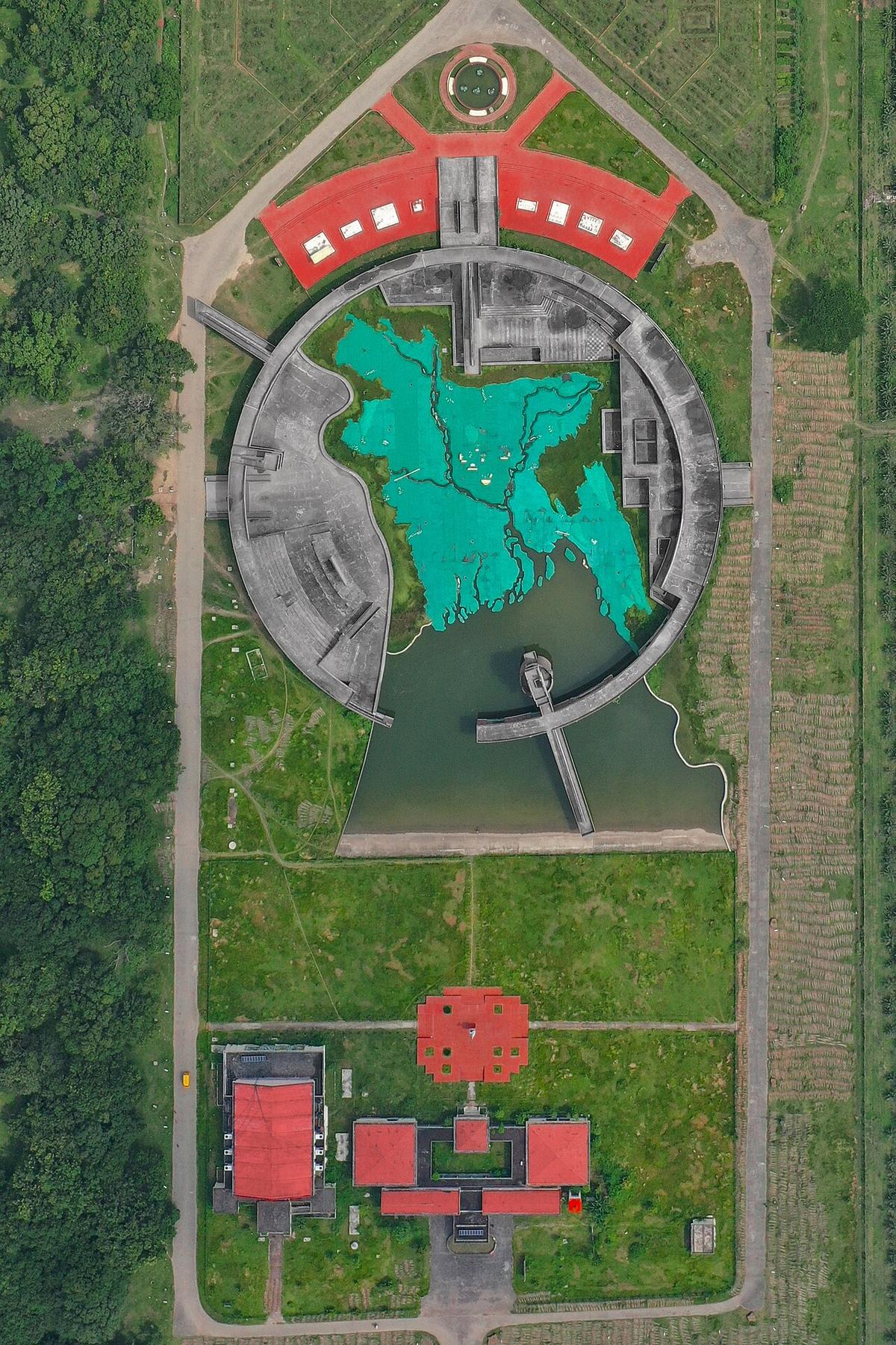
Memorial complex where the Provisional Government of Bangladesh was sworn in on 17 April 1971.
Photo: Pinu Rahman / Wikimedia Commons · CC BY-SA 4.0 · Source
MeherpurMeherpur is in Bangladesh's Khulna Division, one of the country's 64 districts.
Places added to this guide: Bhatpara Neelkuthi, Mujibnagar Memorial.
We don't have verified information on this yet, so no months are given.
On 17 April 1971 the Provisional Government of Bangladesh was sworn in there, at the village then called Baidyanathtala.
A colonial-era indigo planters' house near Meherpur.