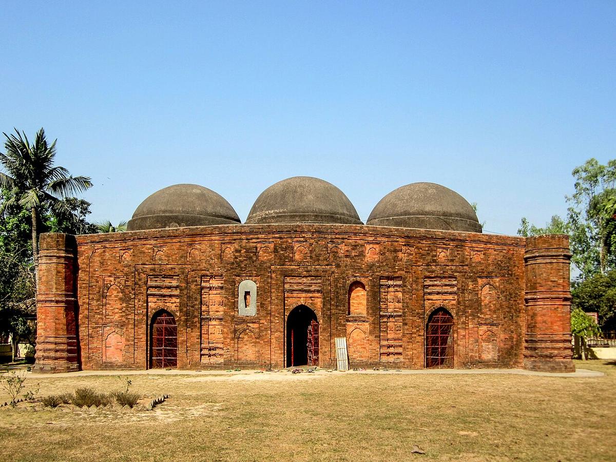
Kherua Mosque
A historic mosque in Sherpur upazila of Bogura.
Photo: Asaduzzaman / Wikimedia Commons · CC BY-SA 4.0 · Source
BoguraBogura lies in the north of Rajshahi Division, divided by the Karatoya river and bordered by the Jamuna to the east. It holds Mahasthangarh, the remains of an ancient fortified city that served as the capital of the Pundravardhana region, as well as the Mughal-era Kherua Mosque in Sherpur. Today it is a busy commercial and small-industry centre and a major rice-growing district. About 3.73 million people live in roughly 2,899 km² (2022 census).
Sources: Wikipedia: Bogra District, Wikipedia: List of districts of Bangladesh (area, 2022 census) · facts checked Oct 7, 2026
Sources: Wikipedia: List of districts of Bangladesh (area, 2022 census) · facts checked Oct 7, 2026
A historic mosque in Sherpur upazila of Bogura.
Photo: Asaduzzaman / Wikimedia Commons · CC BY-SA 4.0 · Source
Bogura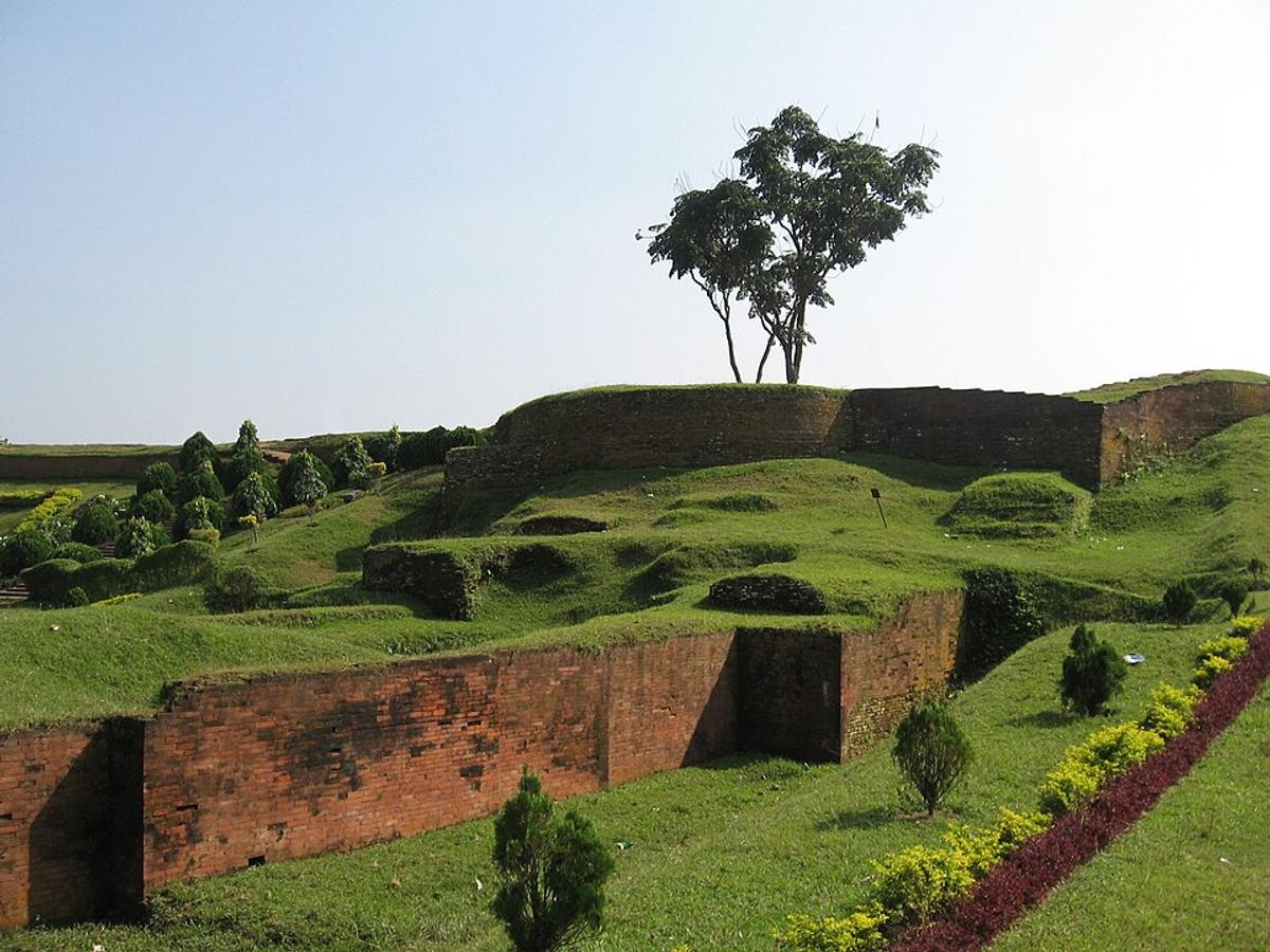
An archaeological site holding the remains of an ancient fortified city.
Photo: Picture taken by P.K.Niyogi, people removed by GreenComputer / Wikimedia Commons · CC0 · Source
BoguraBogura is in Bangladesh's Rajshahi Division, one of the country's 64 districts.
Places added to this guide: Kherua Mosque, Mahasthangarh.
We don't have verified information on this yet, so no months are given.
The remains of an ancient fortified city in Bogura, once the capital of the Pundravardhana region.
The Karatoya runs through the middle of the district, with the Jamuna along its eastern side.