Teesta Barrage
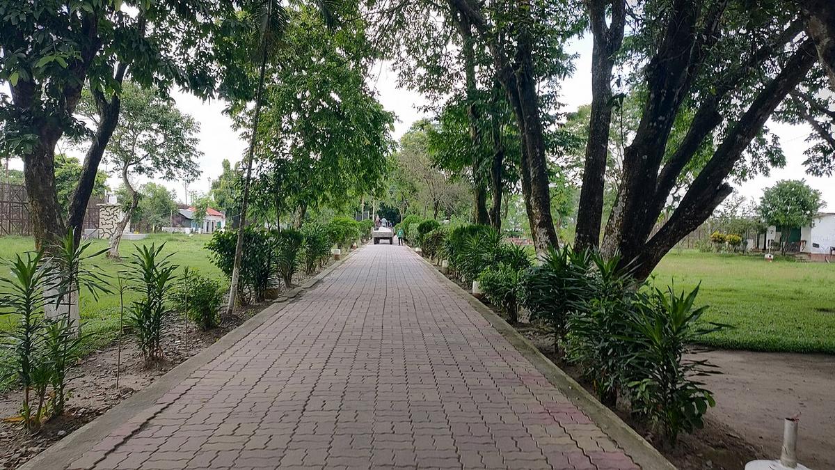
A large irrigation barrage on the Teesta between Lalmonirhat and Nilphamari.
LalmonirhatLalmonirhat is a narrow northern district along the Teesta, bordering the Indian districts of Cooch Behar and Jalpaiguri. It is home to the Teesta Barrage, a major irrigation structure, and the Teesta railway bridge. The Tin Bigha Corridor, a short strip leased from India, links the Bangladeshi enclave of Dahagram–Angarpota to the rest of the district. About 1.43 million people live in roughly 1,247 km² (2022 census).
Sources: Wikipedia: Lalmonirhat District, Wikipedia: List of districts of Bangladesh (area, 2022 census) · facts checked Oct 7, 2026
Sources: Wikipedia: List of districts of Bangladesh (area, 2022 census) · facts checked Oct 7, 2026
A large irrigation barrage on the Teesta between Lalmonirhat and Nilphamari.
LalmonirhatThe short corridor linking the Dahagram–Angarpota enclave with mainland Bangladesh.
Photo: Kingshuk Mondal / Wikimedia Commons · CC BY 4.0 · Source
LalmonirhatLalmonirhat is in Bangladesh's Rangpur Division, one of the country's 64 districts.
Places added to this guide: Teesta Barrage, Tin Bigha Corridor.
We don't have verified information on this yet, so no months are given.
A short strip of land leased from India that connects the Dahagram–Angarpota enclave with mainland Bangladesh.
A large irrigation barrage on the Teesta river in the Lalmonirhat area.