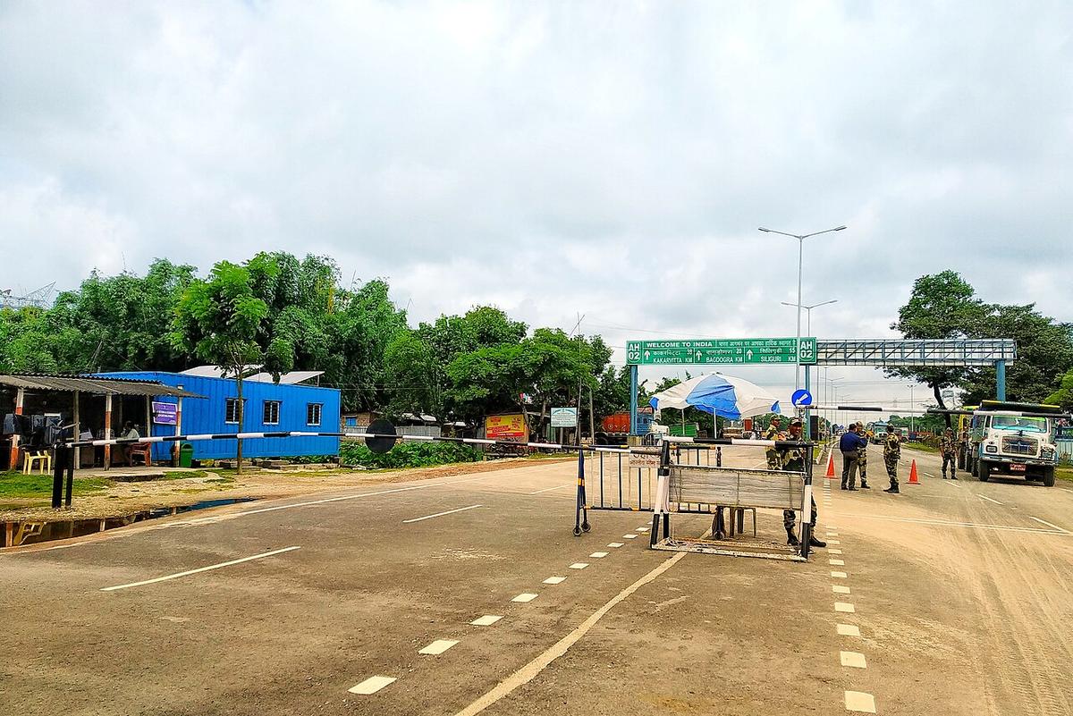
Banglabandha Zero Point
The northernmost point of Bangladesh, a land port on the border with India.
Photo: Sufe / Wikimedia Commons · CC BY-SA 4.0 · Source
PanchagarhPanchagarh is the northernmost district of Bangladesh, surrounded on three sides by India and sitting in the Himalayan foothill plains. From Tetulia, on clear days, the snow peaks of Kangchenjunga can be seen on the horizon. The district has hundreds of small tea gardens, including organic estates, and Banglabandha at its northern tip is a land port and zero-point border crossing used for Nepal transit trade. Rivers include the Karatoya, Mahananda and Atrai. About 1.18 million people live in roughly 1,405 km² (2022 census).
Sources: Wikipedia: Panchagarh District, Wikipedia: List of districts of Bangladesh (area, 2022 census) · facts checked Oct 7, 2026
Sources: Wikipedia: List of districts of Bangladesh (area, 2022 census) · facts checked Oct 7, 2026
The northernmost point of Bangladesh, a land port on the border with India.
Photo: Sufe / Wikimedia Commons · CC BY-SA 4.0 · Source
Panchagarh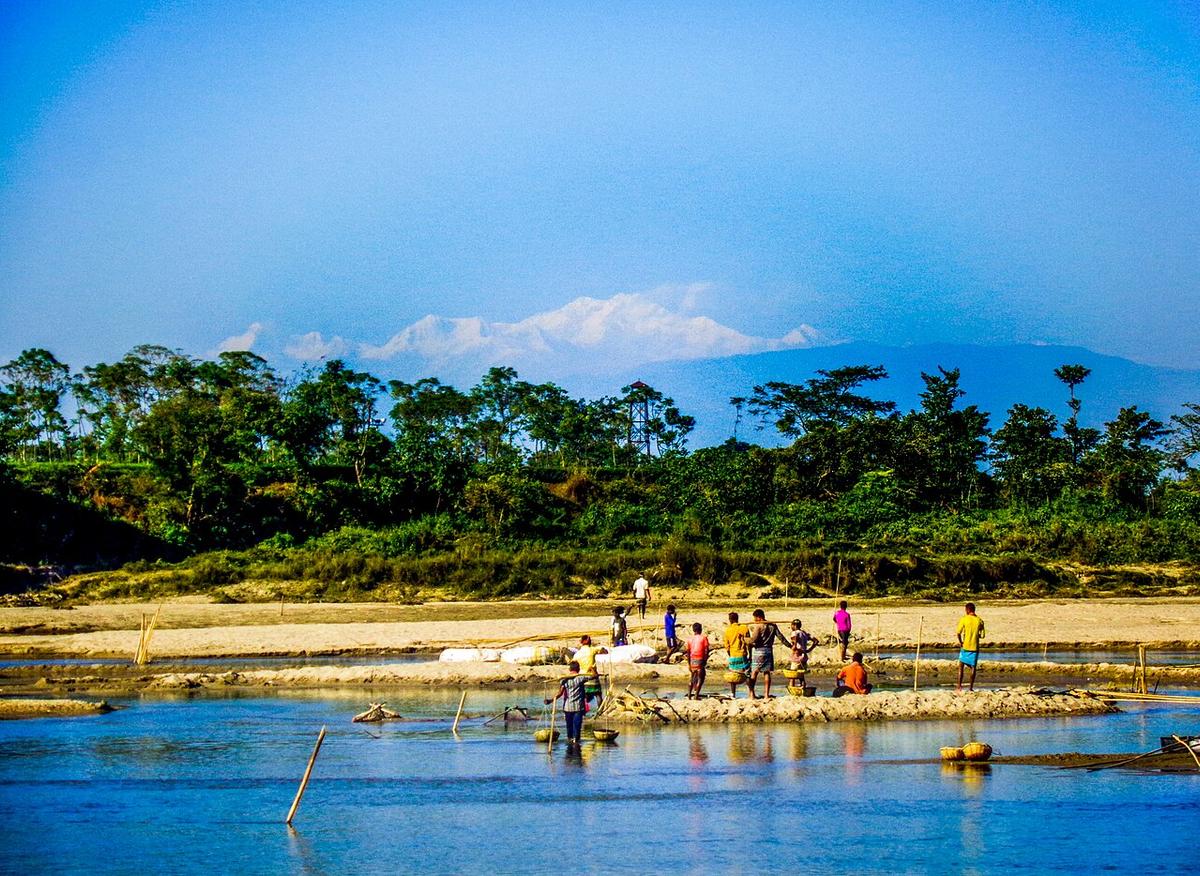
The northern tip of Bangladesh, with tea gardens and, on clear days, a view of Kangchenjunga.
Photo: Nasif05 / Wikimedia Commons · CC BY-SA 4.0 · Source
PanchagarhPanchagarh is in Bangladesh's Rangpur Division, one of the country's 64 districts.
Places added to this guide: Banglabandha Zero Point, Tetulia.
We don't have verified information on this yet, so no months are given.
Yes, on clear days the peak can be seen from Tetulia in Panchagarh.
The northern tip of Bangladesh, with a land port and zero-point crossing used for transit trade with Nepal.