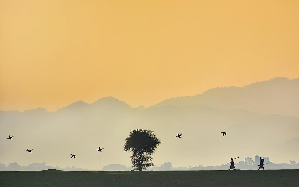
Tanguar Haor
A vast wetland that fills with water in the monsoon.
Photo: Abdul Momin / Wikimedia Commons · CC BY-SA 4.0 · Source
SunamganjSunamganj is the haor country of the north-east: a district of vast low-lying wetlands along the border with India that fill with water in the monsoon and shrink in winter. The Surma river flows past Sunamganj town, and the best-known wetland, Tanguar Haor, draws visitors by boat in the rainy season and migratory birds in winter. The district covers about 3,747 km² and has roughly 2.70 million people (2022 census), making it the largest district in Sylhet Division by area.
Sources: Wikipedia: Sunamganj District · facts checked Oct 7, 2026
Sources: Wikipedia: List of districts of Bangladesh (area, 2022 census) · facts checked Oct 7, 2026
A vast wetland that fills with water in the monsoon.
Photo: Abdul Momin / Wikimedia Commons · CC BY-SA 4.0 · Source
SunamganjSunamganj is in Bangladesh's Sylhet Division, one of the country's 64 districts.
Places added to this guide: Tanguar Haor.
We don't have verified information on this yet, so no months are given.
Much of the district is made up of haors, large shallow wetlands that flood in the monsoon and partly dry out in winter.
A large wetland in Sunamganj, visited by boat when the water is high in the monsoon and known for migratory waterbirds in winter.