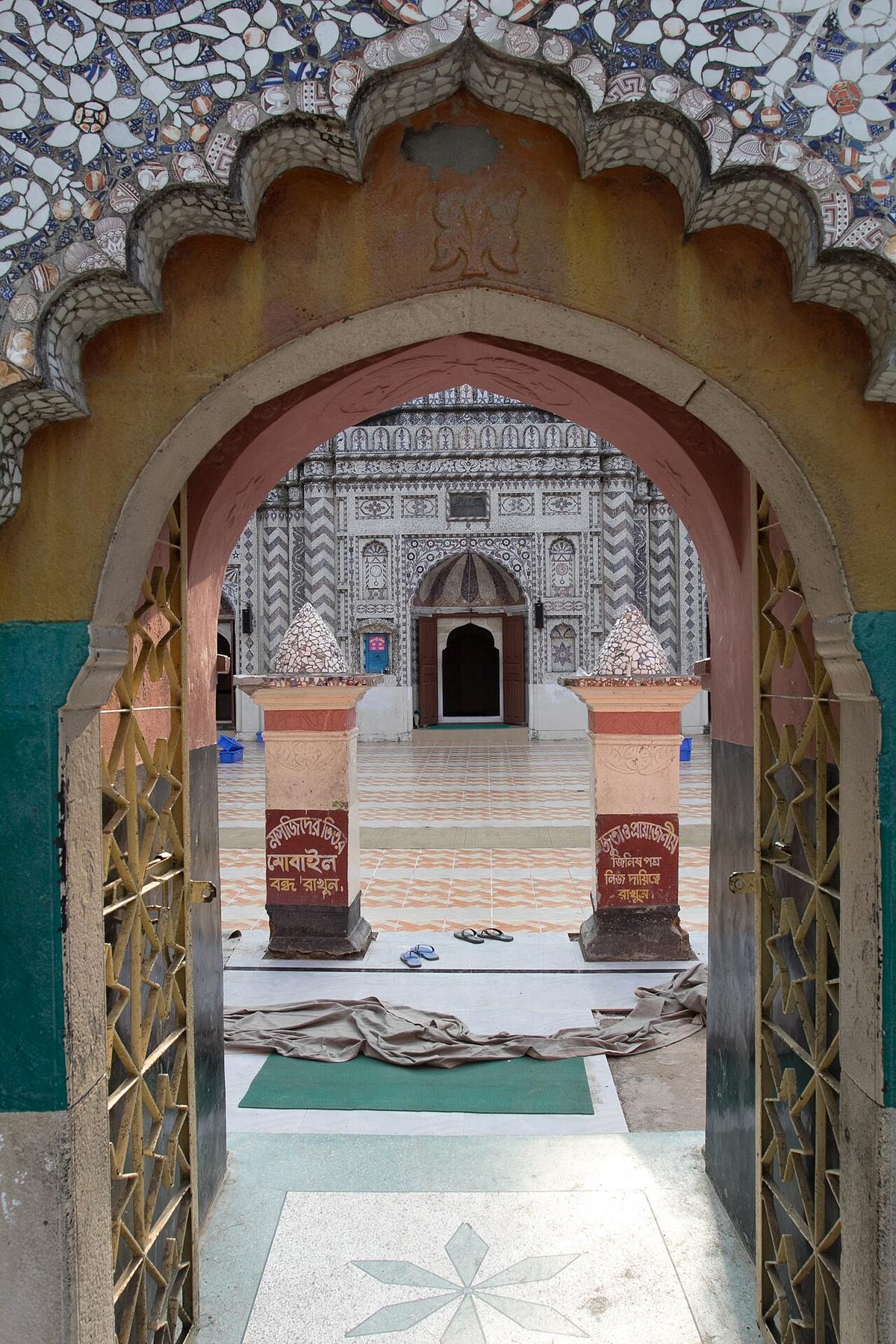
Bajra Shahi Mosque
An 18th-century Mughal-style mosque in Noakhali.
Photo: Kazi Rashed Abdallah / Wikimedia Commons · CC BY-SA 4.0 · Source
NoakhaliNoakhali faces the Meghna estuary and the Bay of Bengal, a district that keeps growing as silt builds new land, or chars, along its coast. Its best-known natural place is Nijhum Dwip, an island national park (declared in 2001) with mangroves and herds of spotted deer, reached via Hatiya. Inland, the 18th-century Bajra Shahi Mosque is a fine example of late Mughal architecture. About 3.63 million people live in its roughly 3,686 km² (2022 census), and trains run from Dhaka.
Sources: Wikipedia: Noakhali District, Wikipedia: List of districts of Bangladesh (area, 2022 census) · facts checked Oct 7, 2026
Sources: Wikipedia: List of districts of Bangladesh (area, 2022 census) · facts checked Oct 7, 2026
An 18th-century Mughal-style mosque in Noakhali.
Photo: Kazi Rashed Abdallah / Wikimedia Commons · CC BY-SA 4.0 · Source
Noakhali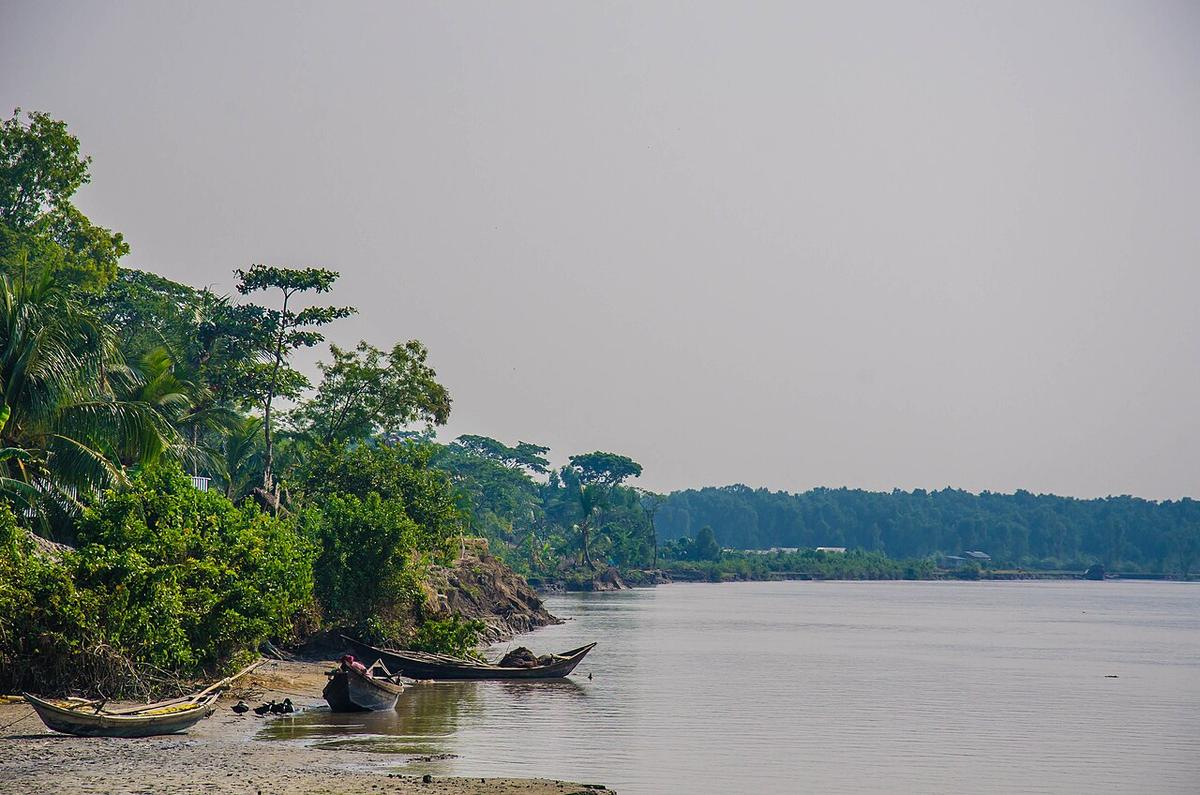
An island national park off Hatiya with mangroves and spotted deer.
Photo: Md Saiful Islam Khan (Aopu) / Wikimedia Commons · CC BY-SA 4.0 · Source
NoakhaliNoakhali is in Bangladesh's Chattogram Division, one of the country's 64 districts.
Places added to this guide: Bajra Shahi Mosque, Nijhum Dwip.
We don't have verified information on this yet, so no months are given.
It is an island national park off Hatiya with mangrove forest and spotted deer.
New land formed from river silt; Noakhali's coastline has gained land this way over recent decades.