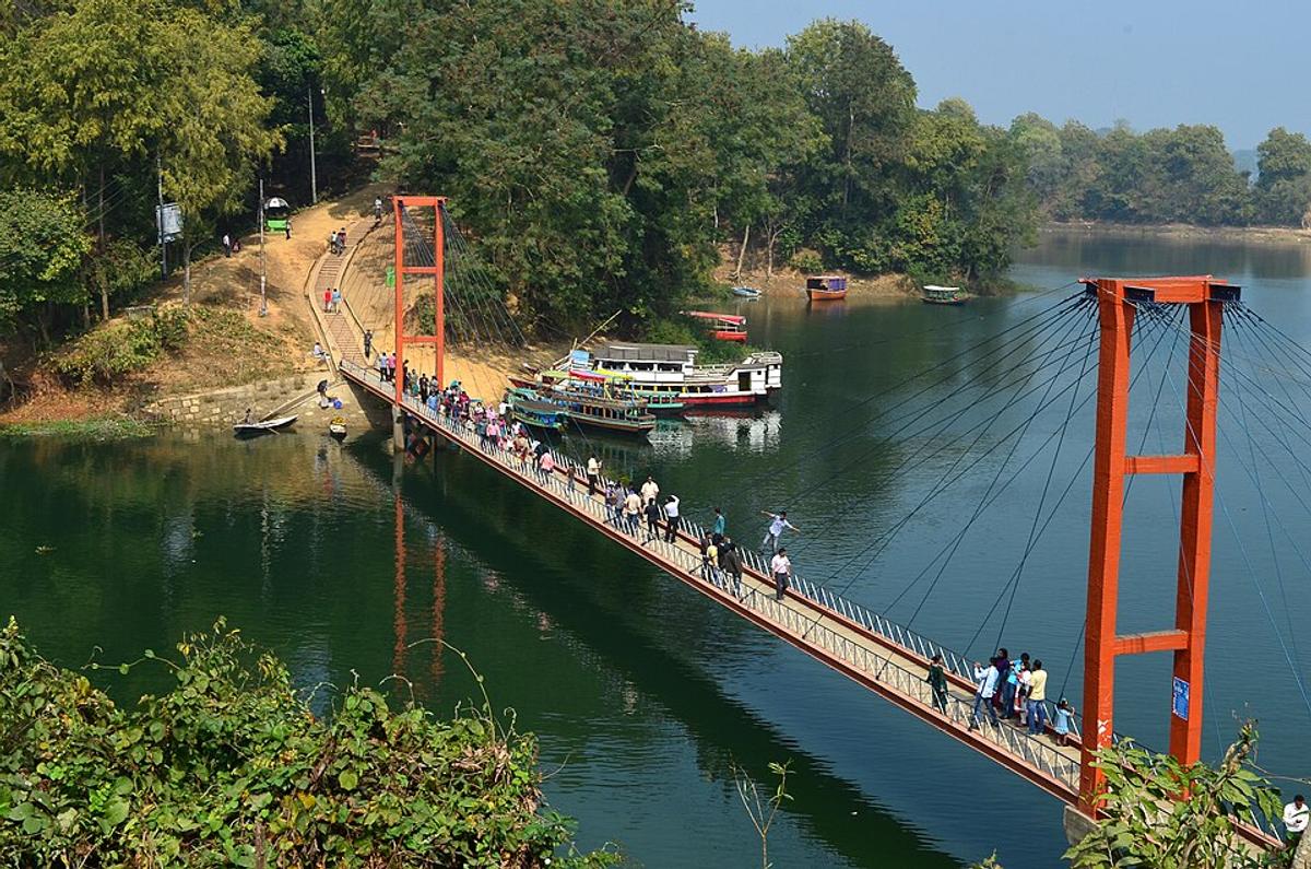
Kaptai Lake
A large man-made reservoir surrounded by hills.
Photo: Shakhawat Hossen Shafat / Wikimedia Commons · CC BY-SA 4.0 · Source
RangamatiRangamati is the largest district of Bangladesh by area (about 6,116 km²) but one of the least populous, with around 648,000 people (2022 census). It is the only district bordering both India and Myanmar. At its heart lies Kaptai Lake, a reservoir created by damming the Karnaphuli, crossed by the town's well-known hanging bridge. The hills are home to Chakma, Marma, Tanchangya and Tripura communities, and Sajek Valley, Kaptai National Park and the Shuvolong waterfalls draw visitors.
Sources: Wikipedia: Rangamati Hill District, Wikipedia: List of districts of Bangladesh (area, 2022 census) · facts checked Oct 7, 2026
Sources: Wikipedia: List of districts of Bangladesh (area, 2022 census) · facts checked Oct 7, 2026
A large man-made reservoir surrounded by hills.
Photo: Shakhawat Hossen Shafat / Wikimedia Commons · CC BY-SA 4.0 · Source
Rangamati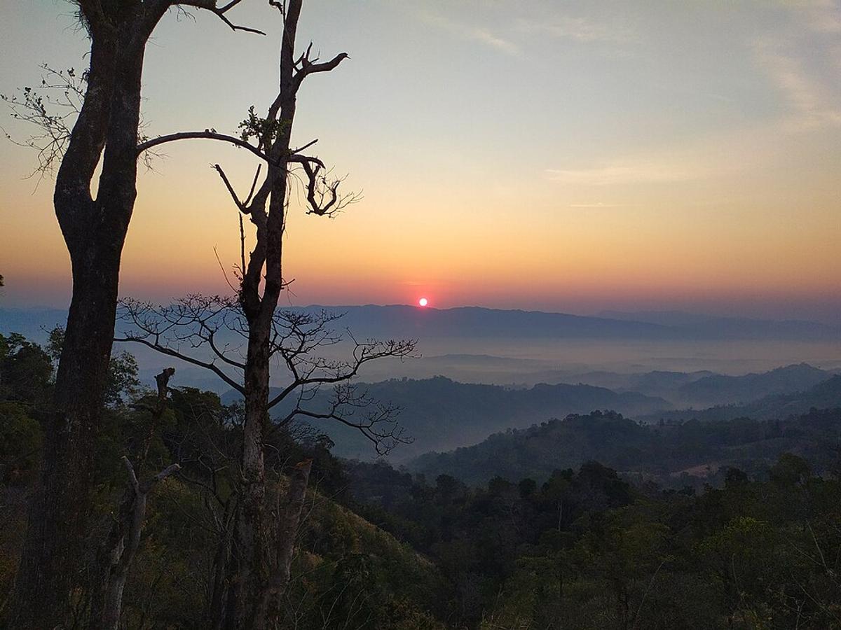
A hilltop valley with views of clouds and green ridges.
Photo: Rocky Masum / Wikimedia Commons · CC BY-SA 4.0 · Source
Rangamati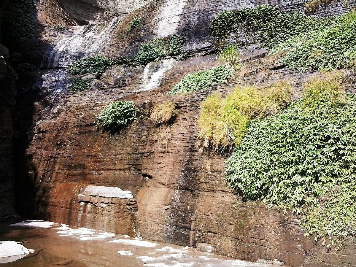
Waterfalls in Rangamati near Kaptai Lake.
Photo: Ferdous / Wikimedia Commons · CC BY-SA 4.0 · Source
RangamatiRangamati is in Bangladesh's Chattogram Division, one of the country's 64 districts.
Places added to this guide: Kaptai Lake, Sajek Valley, Shuvolong Waterfalls.
We don't have verified information on this yet, so no months are given.
By a hydroelectric dam on the Karnaphuli river, which flooded the valley to form the reservoir.
India (Tripura and Mizoram) and Myanmar; it is the only district bordering both.