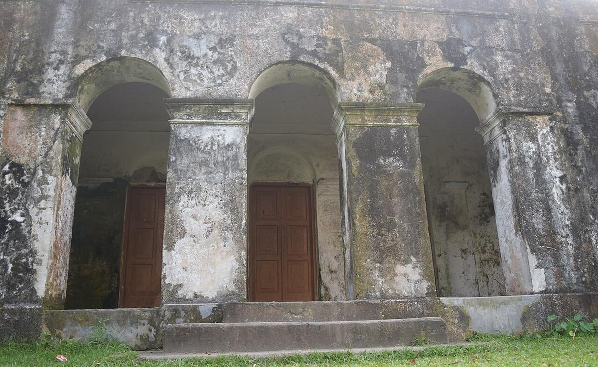
Jangalbari Fort
The stronghold of the 16th-century chief Isa Khan in Karimganj, Kishoreganj.
Photo: Farhan alvee / Wikimedia Commons · CC BY-SA 4.0 · Source
KishoreganjKishoreganj spreads east from the Old Brahmaputra into the haor country, where low wetlands such as Nikli Haor fill with water in the monsoon. The Meghna, Kushiyara and Kalni rivers shape its east, and fishing communities depend on the haors. Heritage sites include Jangalbari Fort, the stronghold of the 16th-century chief Isa Khan, and the Mughal-period Sadi Mosque (1652). About 3.27 million people live in roughly 2,689 km² (2022 census).
Sources: Wikipedia: Kishoreganj District, Wikipedia: List of districts of Bangladesh (area, 2022 census) · facts checked Oct 7, 2026
Sources: Wikipedia: List of districts of Bangladesh (area, 2022 census) · facts checked Oct 7, 2026
The stronghold of the 16th-century chief Isa Khan in Karimganj, Kishoreganj.
Photo: Farhan alvee / Wikimedia Commons · CC BY-SA 4.0 · Source
Kishoreganj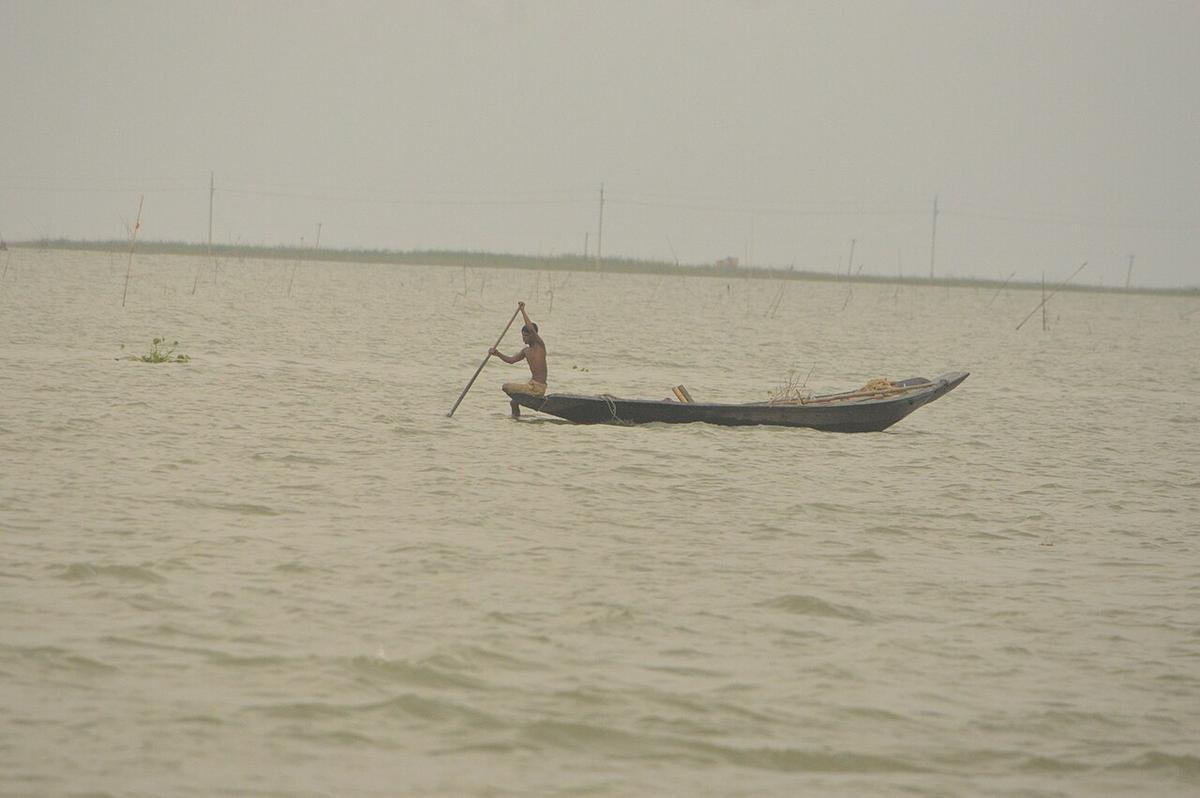
A wide wetland in Kishoreganj that fills with water in the monsoon.
Photo: Aashaa / Wikimedia Commons · CC BY-SA 4.0 · Source
KishoreganjKishoreganj is in Bangladesh's Dhaka Division, one of the country's 64 districts.
Places added to this guide: Jangalbari Fort, Nikli Haor.
We don't have verified information on this yet, so no months are given.
A large, shallow wetland that fills with water in the monsoon; Nikli Haor is one of the best known in Kishoreganj.
A fort in Karimganj upazila that served as a stronghold of Isa Khan, a 16th-century chieftain.