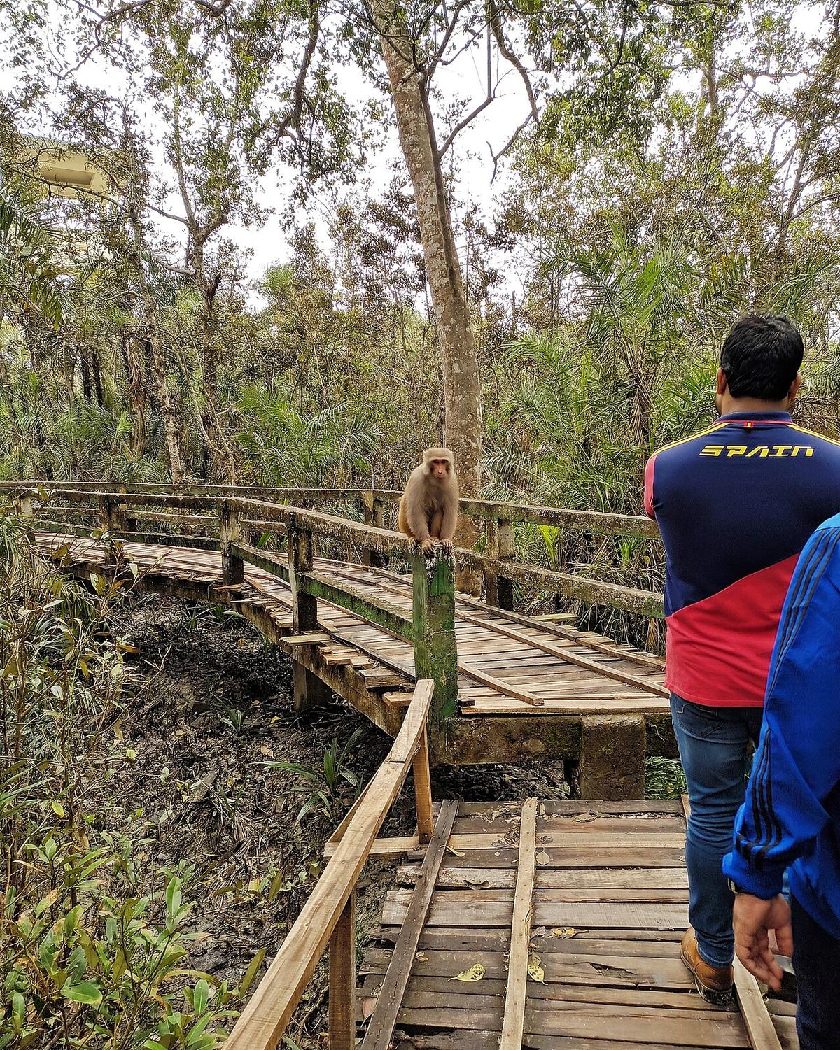
Karamjal
A Sundarbans visitor point near Mongla with a wildlife breeding centre.
Photo: Shahid BDWiki / Wikimedia Commons · CC BY-SA 4.0 · Source
BagerhatBagerhat lies in the south-west between Khulna and Pirojpur, reaching the Bay of Bengal through the Sundarbans. Its town grew around the 15th-century Mosque City founded by the saint Khan Jahan Ali, a UNESCO World Heritage Site whose centrepiece is the Shait Gumbad (Sixty Dome) Mosque, near the saint's tomb and tank. Mongla, one of the country's two main seaports, is in the district, and Karamjal is a gateway to the Sundarbans. About 1.61 million people live in roughly 3,959 km² (2022 census).
Sources: Wikipedia: Bagerhat District, Wikipedia: List of districts of Bangladesh (area, 2022 census) · facts checked Oct 7, 2026
Sources: Wikipedia: List of districts of Bangladesh (area, 2022 census) · facts checked Oct 7, 2026
A Sundarbans visitor point near Mongla with a wildlife breeding centre.
Photo: Shahid BDWiki / Wikimedia Commons · CC BY-SA 4.0 · Source
BagerhatThe tomb of the 15th-century saint who founded the Mosque City of Bagerhat, beside his tank.
Bagerhat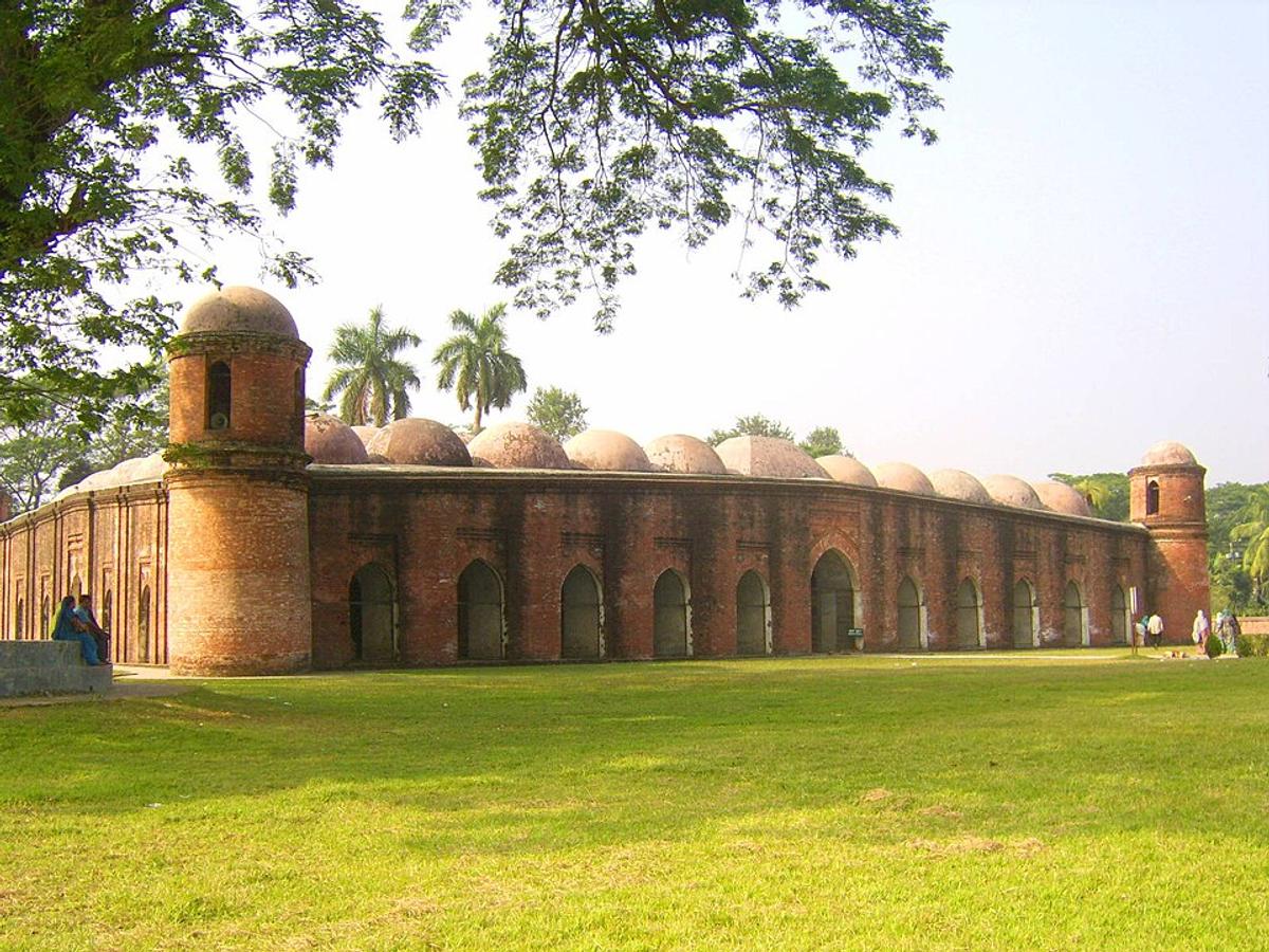
A principal monument of the historic Mosque City of Bagerhat.
Photo: Belayet (User:Bellayet) / Wikimedia Commons · CC BY 3.0 · Source
Bagerhat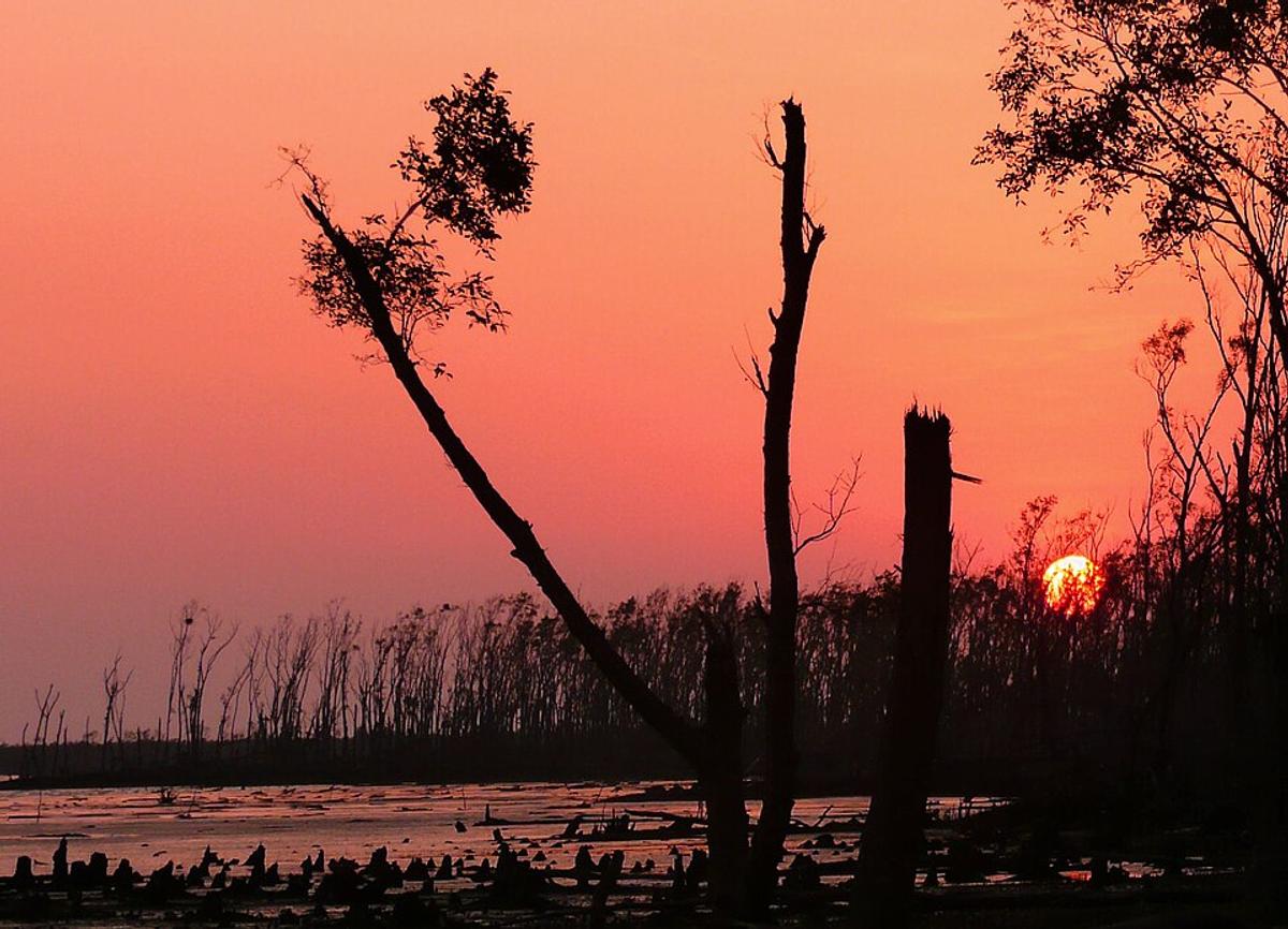
A mangrove forest on the south-west coast, threaded with rivers and channels.
Photo: joiseyshowaa / Wikimedia Commons · CC BY-SA 2.0 · Source
BagerhatBagerhat is in Bangladesh's Khulna Division, one of the country's 64 districts.
Places added to this guide: Karamjal, Khan Jahan Ali's Tomb, Shait Gumbad Mosque, The Sundarbans.
We don't have verified information on this yet, so no months are given.
Khan Jahan Ali, a 15th-century saint and ruler, whose tomb is in Bagerhat.
A Sundarbans visitor point near Mongla, often used as an easy entry to the forest.