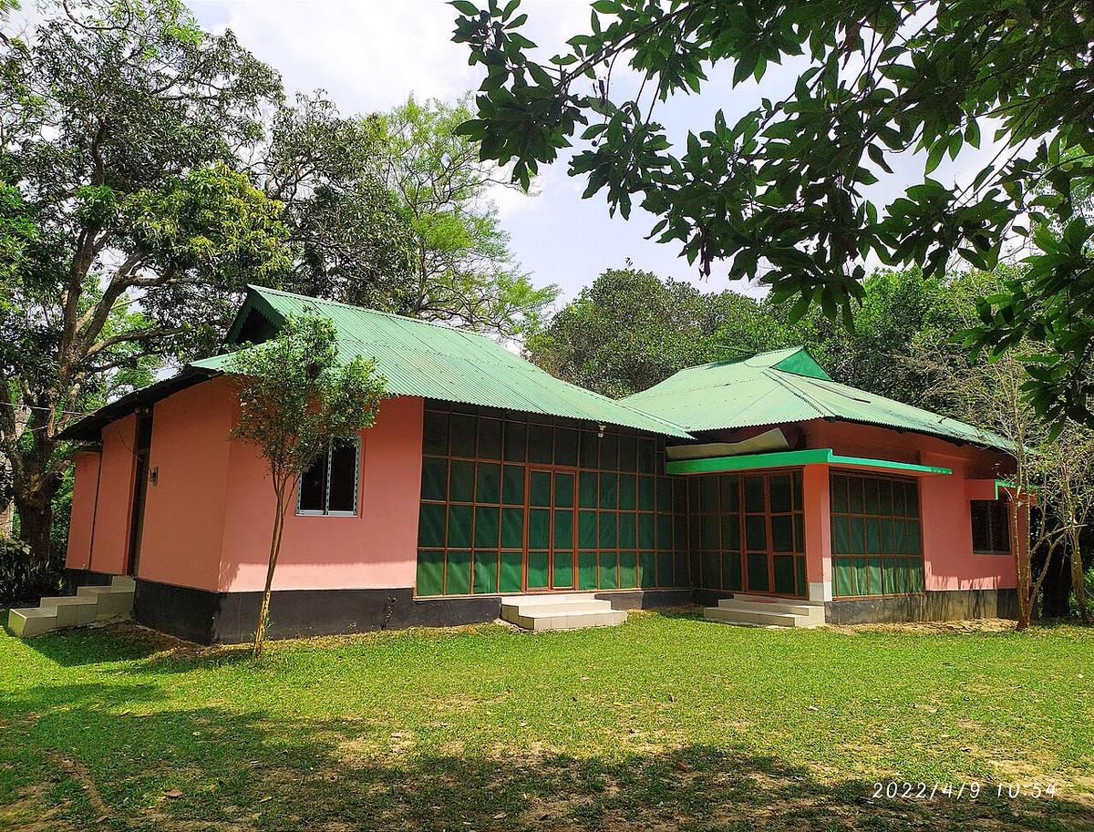
Rema-Kalenga Wildlife Sanctuary
A protected forest in the hills of Chunarughat, Habiganj.
Photo: Sanjida Showmi Shithi / Wikimedia Commons · CC BY-SA 4.0 · Source
HabiganjHabiganj forms the south-western edge of Sylhet Division, between Sunamganj and Moulvibazar districts, Kishoreganj and Brahmanbaria to the west and the Indian state of Tripura to the east. Rivers such as the Kushiyara and Khowai cross its lowlands, while the eastern hills carry tea and rubber gardens and two protected forests, Satchari National Park and Rema-Kalenga Wildlife Sanctuary. About 2.36 million people live in its roughly 2,637 km² (2022 census), and the district also hosts major gas fields such as Bibiyana and Rashidpur.
Sources: Wikipedia: Habiganj District · facts checked Oct 7, 2026
Sources: Wikipedia: List of districts of Bangladesh (area, 2022 census) · facts checked Oct 7, 2026
A protected forest in the hills of Chunarughat, Habiganj.
Photo: Sanjida Showmi Shithi / Wikimedia Commons · CC BY-SA 4.0 · Source
Habiganj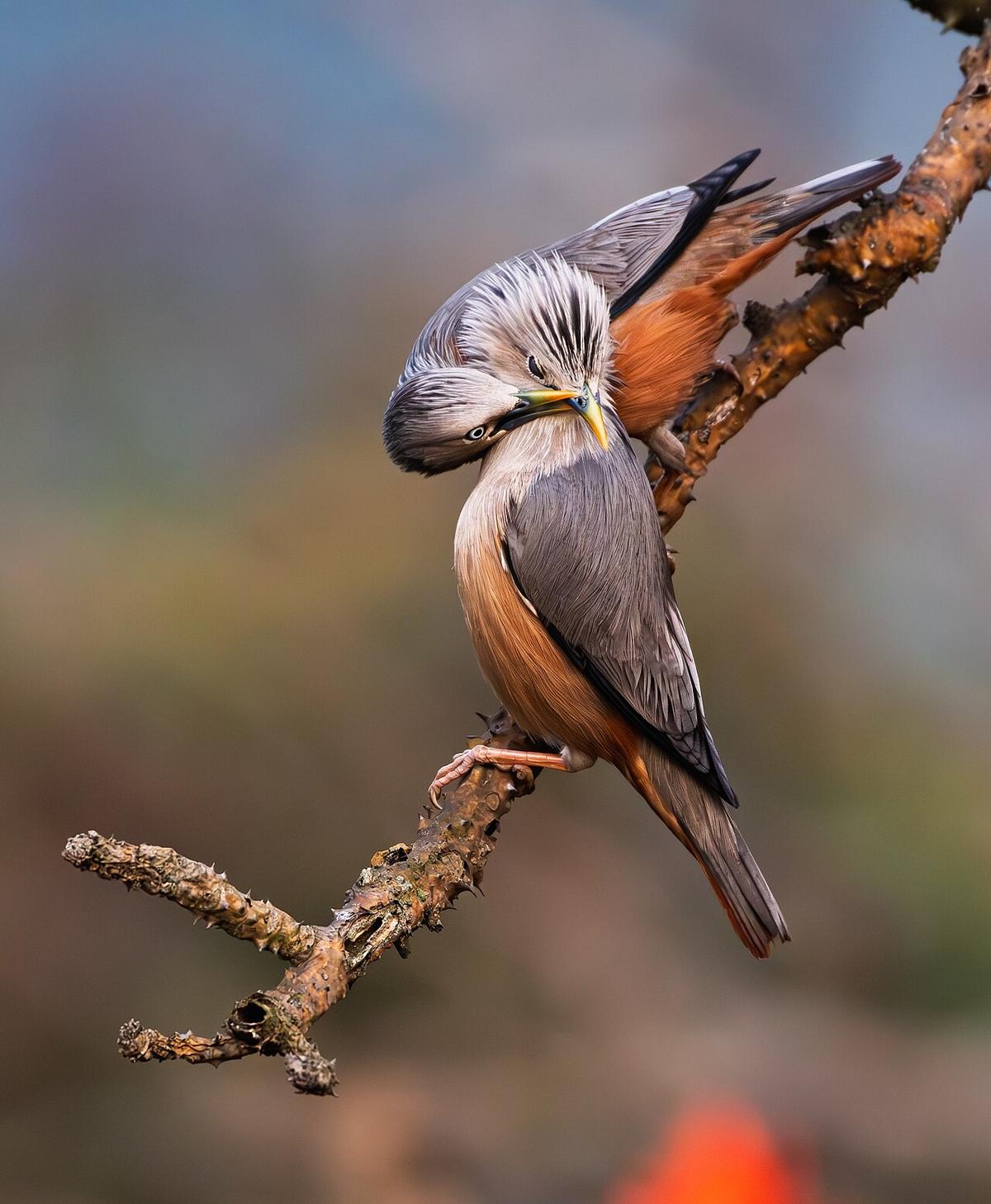
A protected hill forest and national park in Habiganj.
Photo: Princepauljoy / Wikimedia Commons · CC BY-SA 4.0 · Source
HabiganjHabiganj is in Bangladesh's Sylhet Division, one of the country's 64 districts.
Places added to this guide: Rema-Kalenga Wildlife Sanctuary, Satchari National Park.
We don't have verified information on this yet, so no months are given.
Satchari National Park and Rema-Kalenga Wildlife Sanctuary, both in the hilly east of the district.
Tea and rubber gardens, its protected forests, and natural gas fields such as Bibiyana and Rashidpur.