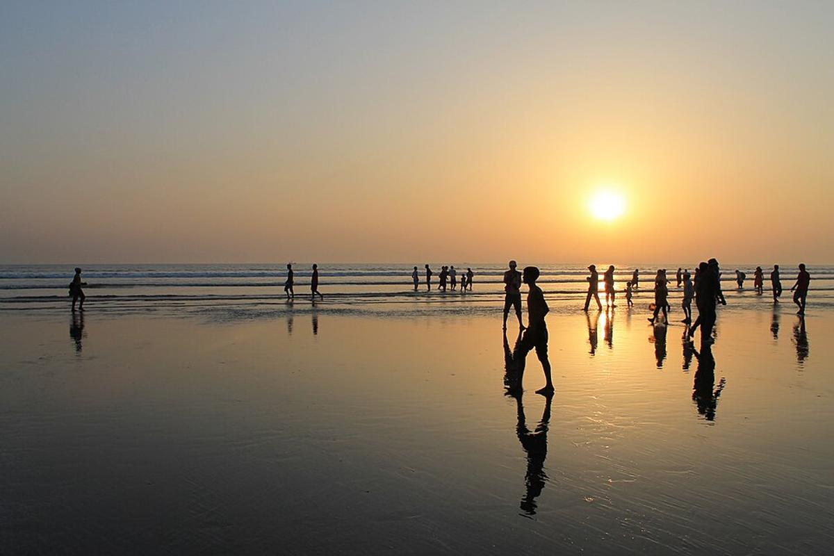
Cox's Bazar Beach
A long sandy beach on the Bay of Bengal, known for sunsets and seaside walks.
Photo: Tanweer Morshed / Wikimedia Commons · CC BY-SA 3.0 · Source
Cox's BazarCox's Bazar stretches along the Bay of Bengal south of Chattogram down to Teknaf, and is the country's best-known seaside destination, with an exceptionally long natural sandy beach. The Marine Drive road follows the coast past Inani Beach to Teknaf, while Himchari National Park offers hilltop views and waterfalls. Offshore lie Maheshkhali island and St Martin's, the only coral island of Bangladesh. Fishing and salt farming are major livelihoods. About 2.82 million people live in roughly 2,492 km² (2022 census), served by an airport and a railway from Chattogram.
Sources: Wikipedia: Cox's Bazar District, Wikipedia: List of districts of Bangladesh (area, 2022 census) · facts checked Oct 7, 2026
Sources: Wikipedia: List of districts of Bangladesh (area, 2022 census) · facts checked Oct 7, 2026
A long sandy beach on the Bay of Bengal, known for sunsets and seaside walks.
Photo: Tanweer Morshed / Wikimedia Commons · CC BY-SA 3.0 · Source
Cox's Bazar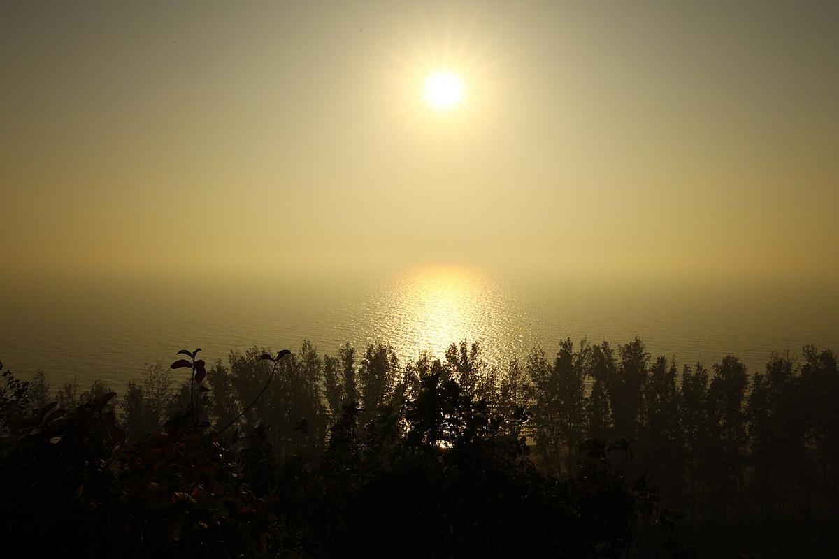
Hills, small waterfalls and sea views just south of Cox's Bazar town.
Photo: Moheen Reeyad / Wikimedia Commons · CC BY-SA 4.0 · Source
Cox's Bazar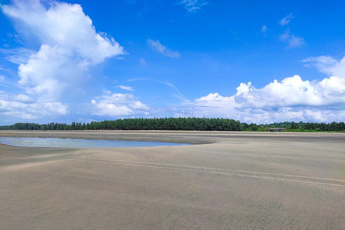
A beach along the Marine Drive south of Cox's Bazar town.
Photo: Moheen Reeyad / Wikimedia Commons · CC BY-SA 4.0 · Source
Cox's Bazar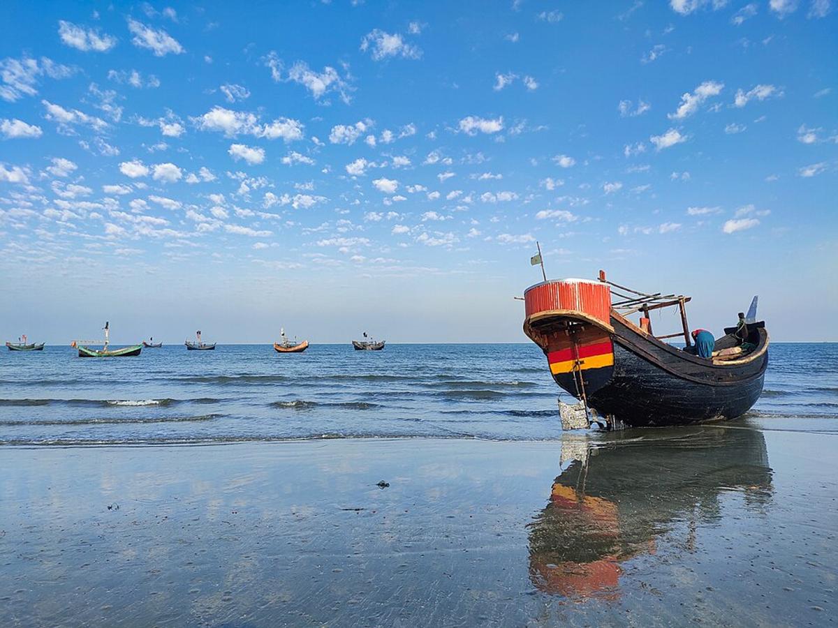
A small island in the Bay of Bengal, off the Teknaf peninsula.
Photo: ROCKY / Wikimedia Commons · CC BY-SA 4.0 · Source
Cox's BazarCox's Bazar is in Bangladesh's Chattogram Division, one of the country's 64 districts.
Places added to this guide: Cox's Bazar Beach, Himchari National Park, Inani Beach, Saint Martin's Island.
We don't have verified information on this yet, so no months are given.
A coastal road from Cox's Bazar town to Teknaf that runs beside the sea past Inani Beach.
Maheshkhali, Kutubdia, Sonadia and St Martin's, the only coral island in Bangladesh.