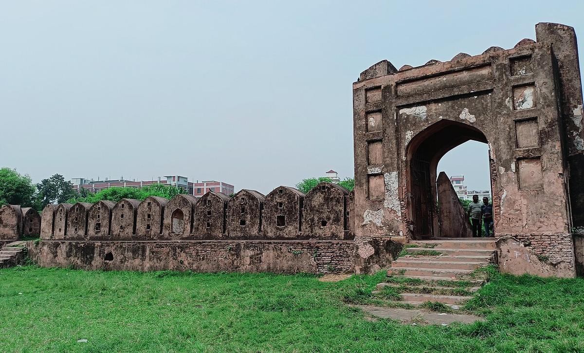
Hajiganj Fort
A Mughal river fort in Narayanganj built in the first half of the 17th century.
Photo: Tufan Mazhar Khan / Wikimedia Commons · CC BY-SA 4.0 · Source
NarayanganjNarayanganj lies just south-east of Dhaka where the Shitalakshya meets the Meghna, and at about 684 km² it is the country's smallest district by area, with roughly 3.91 million people (2022 census). Once a great jute port, it is still an industrial and textile hub. Its history runs deep: Sonargaon, a medieval capital of Bengal, holds the Panam Nagar streets of old merchant houses and the Folk Art and Crafts Museum, and the Mughal river forts of Hajiganj and Sonakanda guard the waterways.
Sources: Wikipedia: Narayanganj District, Wikipedia: List of districts of Bangladesh (area, 2022 census) · facts checked Oct 7, 2026
Sources: Wikipedia: List of districts of Bangladesh (area, 2022 census) · facts checked Oct 7, 2026
A Mughal river fort in Narayanganj built in the first half of the 17th century.
Photo: Tufan Mazhar Khan / Wikimedia Commons · CC BY-SA 4.0 · Source
Narayanganj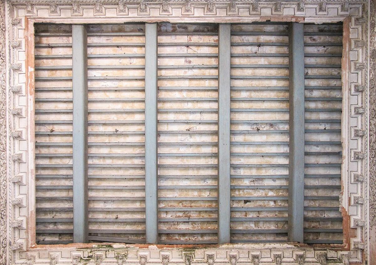
A street of old merchant houses in Sonargaon, once a medieval capital of Bengal.
Photo: Moheen Reeyad / Wikimedia Commons · CC BY-SA 4.0 · Source
Narayanganj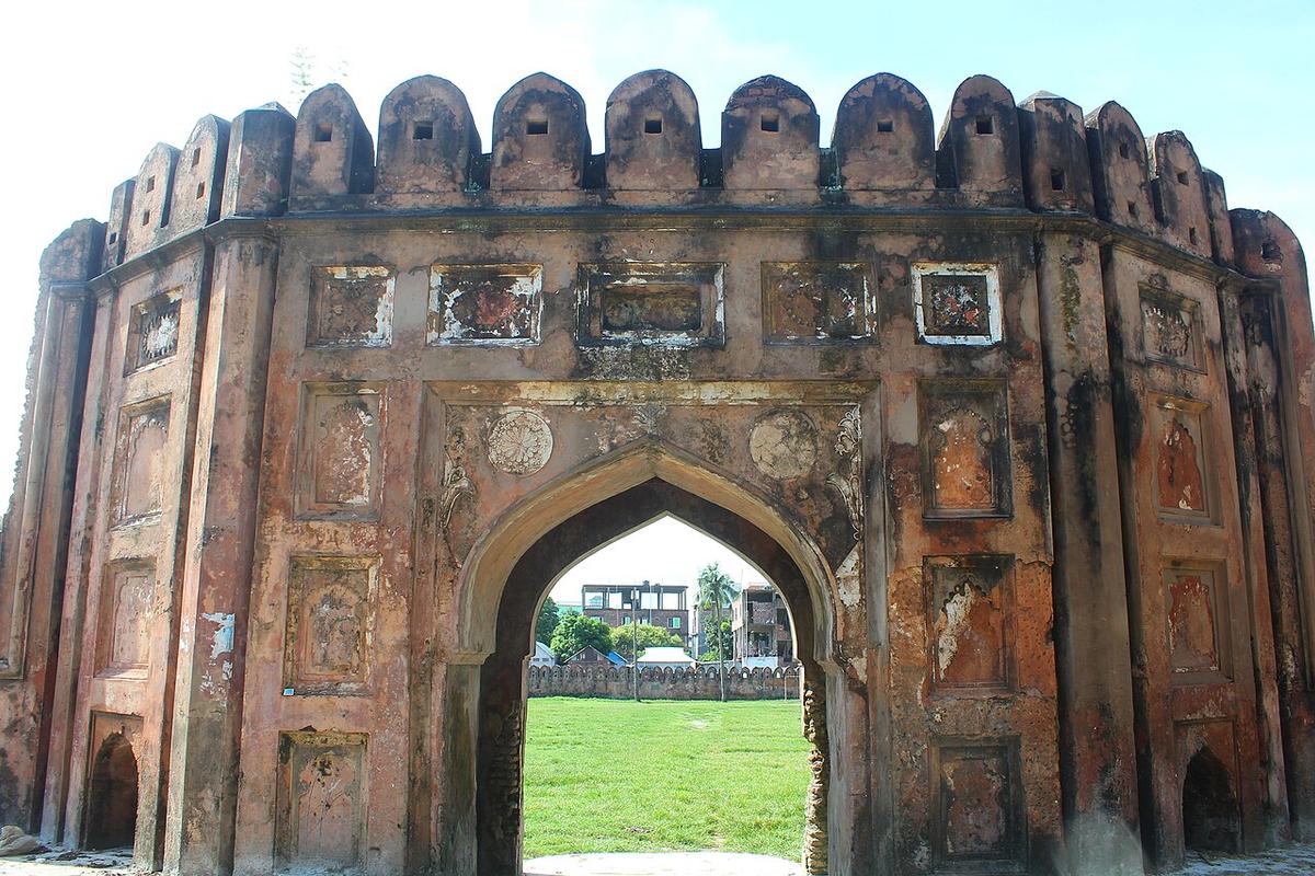
A Mughal-era river fort on the Shitalakshya in Narayanganj.
Photo: SabbirAbeir (md sabbir) / Wikimedia Commons · CC BY-SA 4.0 · Source
NarayanganjNarayanganj is in Bangladesh's Dhaka Division, one of the country's 64 districts.
Places added to this guide: Hajiganj Fort, Panam Nagar, Sonakanda Fort.
We don't have verified information on this yet, so no months are given.
Panam Nagar, a street of old merchant houses, the Folk Art and Crafts Museum, and the Goaldi Mosque.
Hajiganj Fort and Sonakanda Fort, both river forts from the Mughal period.