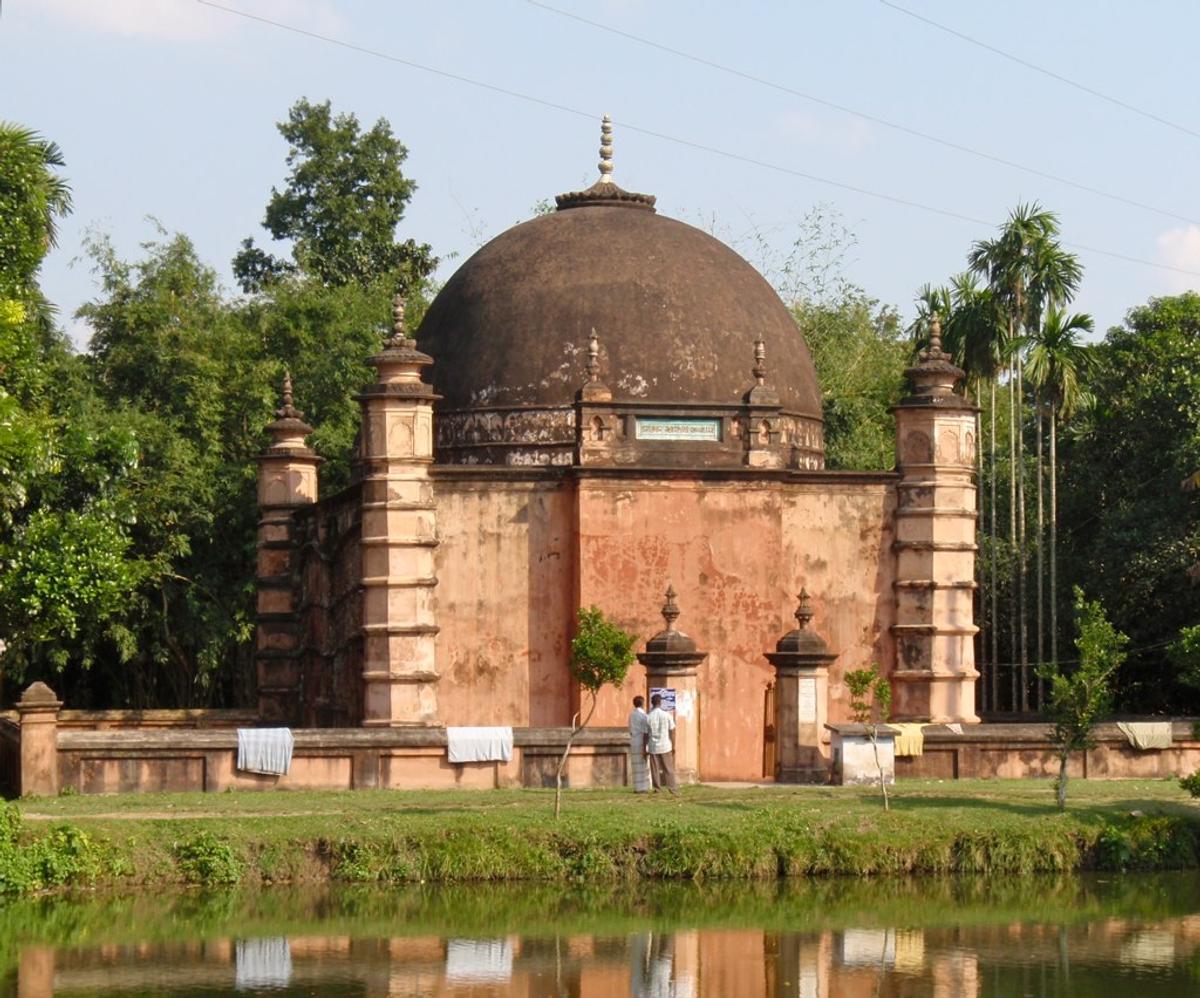
Atia Mosque
A mosque in Tangail built in 1610–11.
Photo: John Pavelka / Wikimedia Commons · CC BY 2.0 · Source
TangailTangail lies north-west of Dhaka between the Jamuna to the west and the hills of Madhupur to the north-east. It is famous across the country for the Tangail saree, a handloom weave, and for its jackfruit. Visitors come for the Atia Mosque (built in 1610–11), the Dhanbari Nawab Palace and the Mohera Zamindar Bari. With about 4.04 million people in some 3,414 km² (2022 census), it is one of the most populous districts outside the big cities.
Sources: Wikipedia: Tangail District, Wikipedia: List of districts of Bangladesh (area, 2022 census) · facts checked Oct 7, 2026
Sources: Wikipedia: List of districts of Bangladesh (area, 2022 census) · facts checked Oct 7, 2026
A mosque in Tangail built in 1610–11.
Photo: John Pavelka / Wikimedia Commons · CC BY 2.0 · Source
Tangail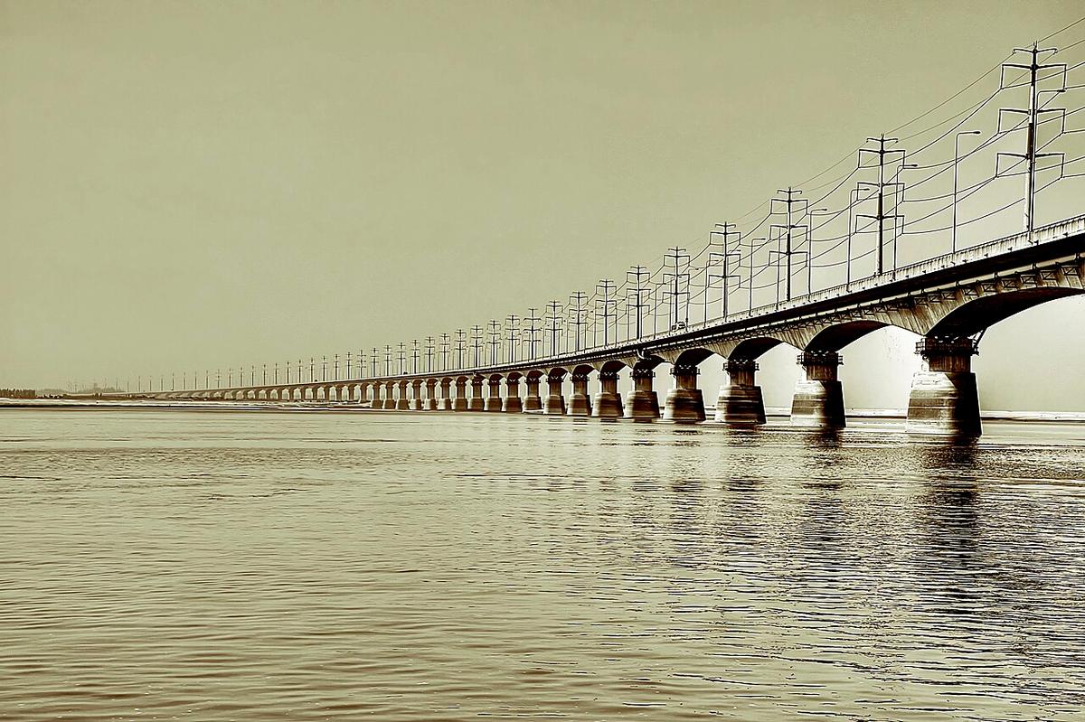
The long road and rail bridge over the Jamuna that links Sirajganj with Tangail.
Photo: Mahbub Shaheed / Prometheus-BD / Wikimedia Commons · CC BY-SA 2.0 · Source
Tangail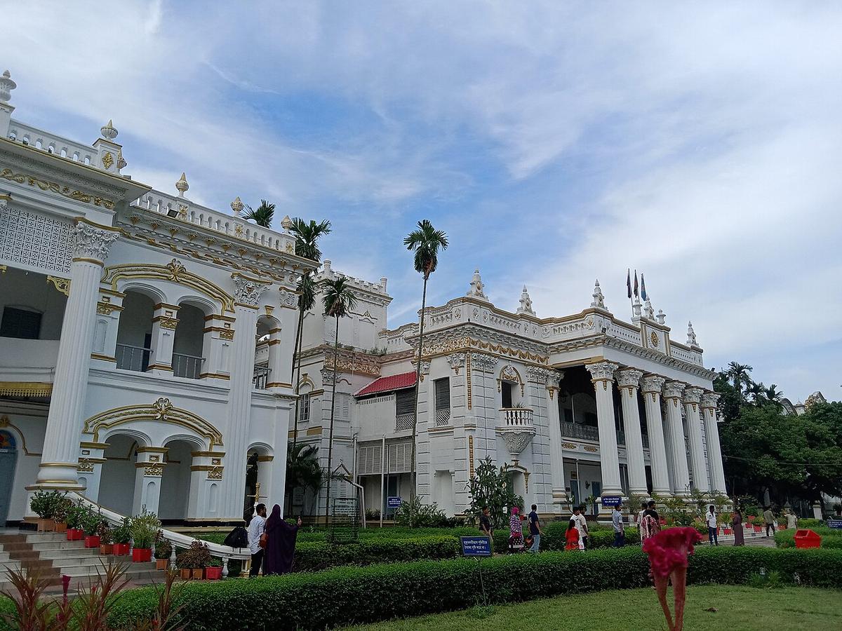
A group of grand zamindar mansions in Mirzapur, Tangail.
Photo: Kryesmin / Wikimedia Commons · CC0 · Source
TangailTangail is in Bangladesh's Dhaka Division, one of the country's 64 districts.
Places added to this guide: Atia Mosque, Jamuna Bridge, Mohera Zamindar Bari.
We don't have verified information on this yet, so no months are given.
The handloom Tangail saree, jackfruit, and heritage sites such as the Atia Mosque and the Mohera Zamindar Bari.
The Jamuna forms its western edge, and the Dhaleshwari, Bangshi, Lohajang and Jhenai also cross the district.