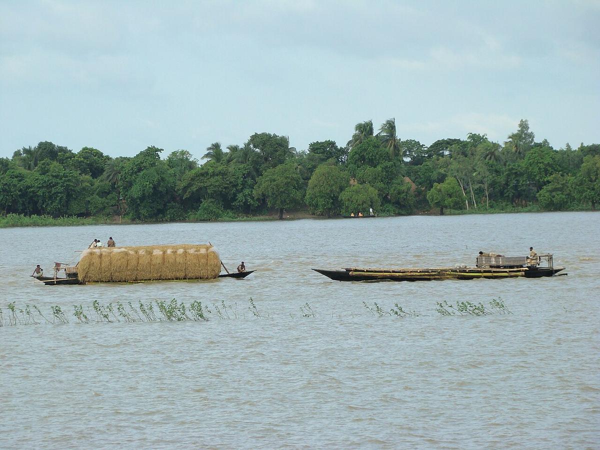
Chalan Beel
A vast wetland spreading across Natore, Pabna and Sirajganj.
Photo: Shahnoor Habib Munmun / Wikimedia Commons · CC BY 3.0 · Source
SirajgonjSirajganj lies on the west bank of the Jamuna and is the gateway to the north: the Jamuna Bridge and its railway crossing link the district with Tangail and Dhaka. It is known for handloom weaving and a fast-growing dairy sector, and part of the Chalan Beel wetland lies on its border with Pabna. At Shahjadpur, the Kachharibari was an estate office of the Tagore family. About 3.36 million people live in roughly 2,402 km² (2022 census), with river ports at Baghabari.
Sources: Wikipedia: Sirajganj District, Wikipedia: List of districts of Bangladesh (area, 2022 census) · facts checked Oct 7, 2026

Sources: Wikipedia: List of districts of Bangladesh (area, 2022 census) · facts checked Oct 7, 2026
A vast wetland spreading across Natore, Pabna and Sirajganj.
Photo: Shahnoor Habib Munmun / Wikimedia Commons · CC BY 3.0 · Source
SirajgonjThe long road and rail bridge over the Jamuna that links Sirajganj with Tangail.
Photo: Mahbub Shaheed / Prometheus-BD / Wikimedia Commons · CC BY-SA 2.0 · Source
Sirajgonj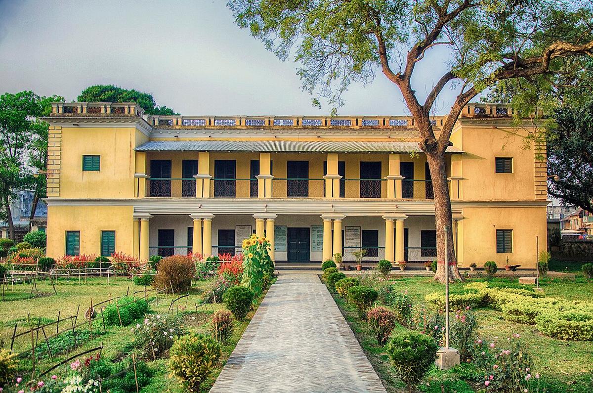
A former estate office of the Tagore family at Shahjadpur, Sirajganj.
Photo: Khalidrahman / Wikimedia Commons · CC BY-SA 4.0 · Source
SirajgonjSirajgonj is in Bangladesh's Rajshahi Division, one of the country's 64 districts.
Places added to this guide: Chalan Beel, Jamuna Bridge, Shahjadpur Kachharibari.
We don't have verified information on this yet, so no months are given.
The Jamuna Bridge and its rail crossing connect Sirajganj, and through it the northern districts, with Dhaka.
A former estate office of the Tagore family at Shahjadpur.