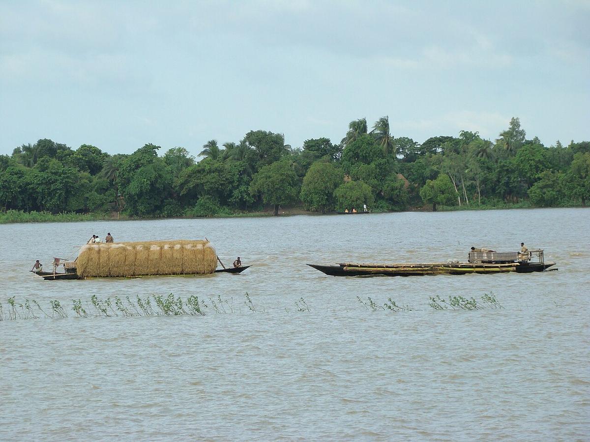
Chalan Beel
A vast wetland spreading across Natore, Pabna and Sirajganj.
Photo: Shahnoor Habib Munmun / Wikimedia Commons · CC BY 3.0 · Source
PabnaPabna lies in west-central Bangladesh between the Padma to the south and the Jamuna to the east, with the Atrai and Baral rivers and the edge of the Chalan Beel wetland in the north. The historic Hardinge Bridge and the newer Lalon Shah Bridge cross the Padma here, and Ishwardi is an important railway junction. The district also hosts the Rooppur nuclear power plant and a long-established mental hospital. About 2.91 million people live in roughly 2,376 km² (2022 census).
Sources: Wikipedia: Pabna District, Wikipedia: List of districts of Bangladesh (area, 2022 census) · facts checked Oct 7, 2026
Sources: Wikipedia: List of districts of Bangladesh (area, 2022 census) · facts checked Oct 7, 2026
A vast wetland spreading across Natore, Pabna and Sirajganj.
Photo: Shahnoor Habib Munmun / Wikimedia Commons · CC BY 3.0 · Source
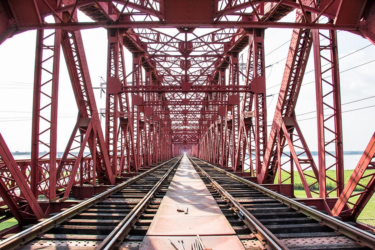
PabnaA historic railway bridge across the Padma at Paksey, Pabna.
Photo: Azim Khan Ronnie / Wikimedia Commons · CC BY-SA 4.0 · Source
PabnaPabna is in Bangladesh's Rajshahi Division, one of the country's 64 districts.
Places added to this guide: Chalan Beel, Hardinge Bridge.
We don't have verified information on this yet, so no months are given.
A historic railway bridge across the Padma at Paksey in Pabna district, next to the newer Lalon Shah road bridge.
The Padma to the south and the Jamuna to the east.