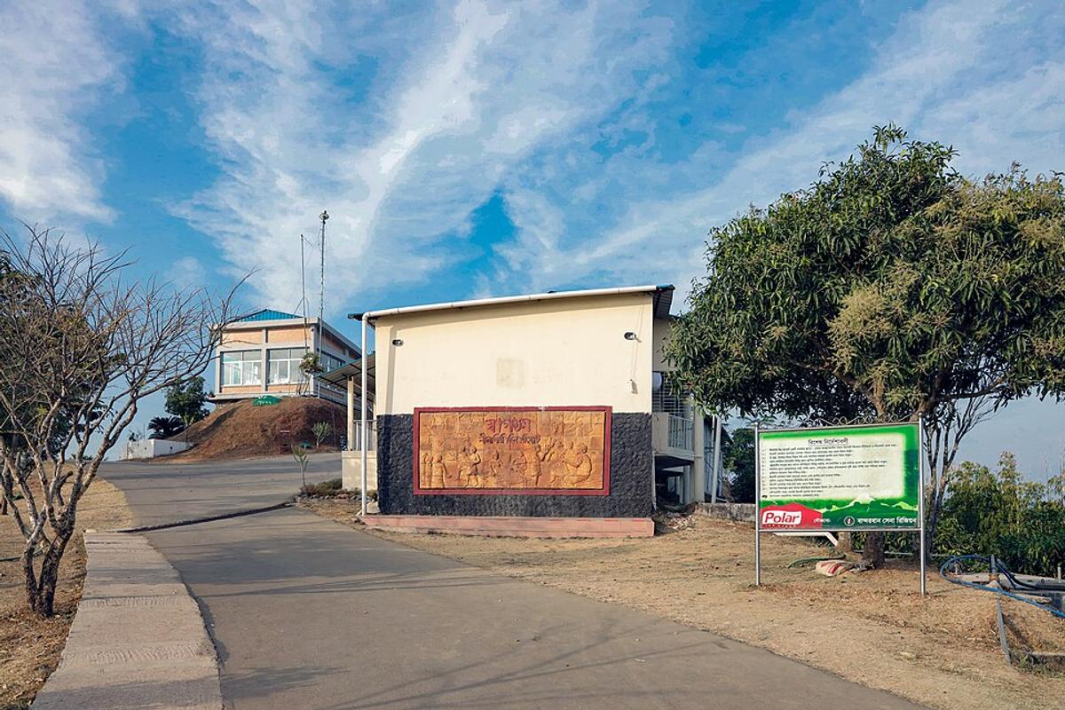
Bandarban Hills
A hill district of forests and waterfalls, popular for trekking.
Photo: Moheen Reeyad / Wikimedia Commons · CC BY-SA 4.0 · Source
BandarbanBandarban is one of the three hill districts of the Chittagong Hill Tracts, a land of steep forested ridges cut by the Sangu river. It is home to Marma, Bawm, Mru and other communities, and its Buddhist temples include the golden Buddha Dhatu Jadi near the town. Trekkers head for Boga Lake, the Keokradong peak and waterfalls such as Amiakhum, while Shoilo Propat is an easy roadside stop. About 481,000 people live in roughly 4,479 km² (2022 census); the town is about two hours by road from Chattogram.
Sources: Wikipedia: Bandarban District, Wikipedia: List of districts of Bangladesh (area, 2022 census) · facts checked Oct 7, 2026
Sources: Wikipedia: List of districts of Bangladesh (area, 2022 census) · facts checked Oct 7, 2026
A hill district of forests and waterfalls, popular for trekking.
Photo: Moheen Reeyad / Wikimedia Commons · CC BY-SA 4.0 · Source
Bandarban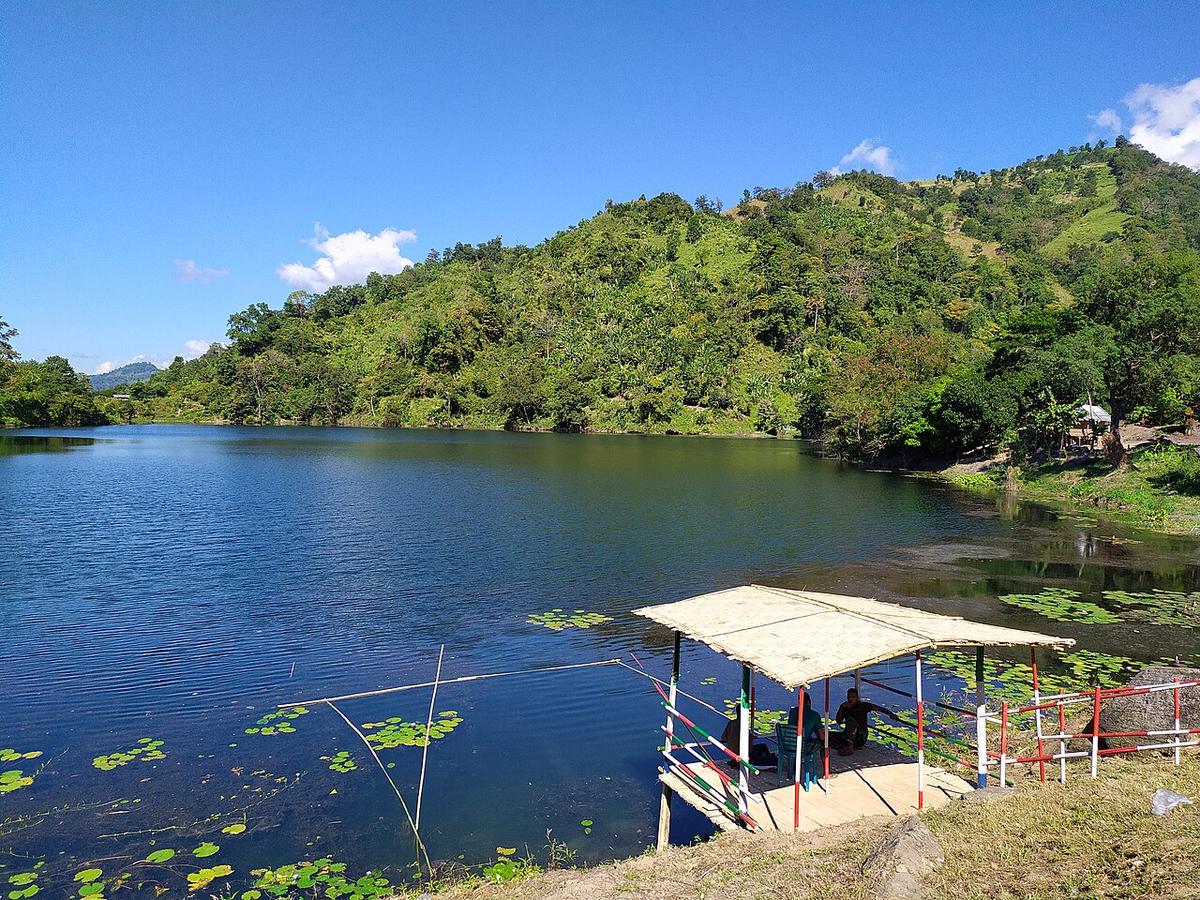
A lake high in the hills of Bandarban.
Photo: Rocky Masum This work was made by Masum-al-Hasan Rocky and released under the license(s... / Wikimedia Commons · CC BY-SA 4.0 · Source
Bandarban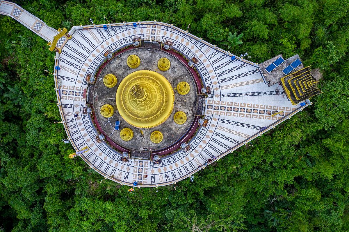
A Buddhist temple near Bandarban town.
Photo: Azim Khan Ronnie / Wikimedia Commons · CC BY-SA 4.0 · Source
BandarbanBandarban is in Bangladesh's Chattogram Division, one of the country's 64 districts.
Places added to this guide: Bandarban Hills, Boga Lake, Buddha Dhatu Jadi, Keokradong.
We don't have verified information on this yet, so no months are given.
Boga Lake, the Keokradong peak and waterfalls such as Amiakhum.
About two hours by road.