Keokradong
A mountain peak in Bandarban and a popular trekking goal. It is in Bandarban district, Chattogram Division.
About Keokradong
Keokradong is a peak in Bandarban, about 986 m (3,235 ft) high by handheld GPS; a Bangladesh Army signboard at the top gives 967 m. It is often described as the highest point in Bangladesh, but that is not correct: the highest point is Saka Haphong.
Keokradong is still one of the country's best-known trekking destinations, and one of its cloudiest places. A small shelter stands on the summit.
Sources: Wikipedia: Keokradong · facts checked Oct 7, 2026
About this place
- Type
- Hills
- Location
- Bandarban
- Best time to visit
- No verified information yet
- Estimated costs
- No verified information yet
Similar places
Chosen by type, shared district and how close they are on the map.
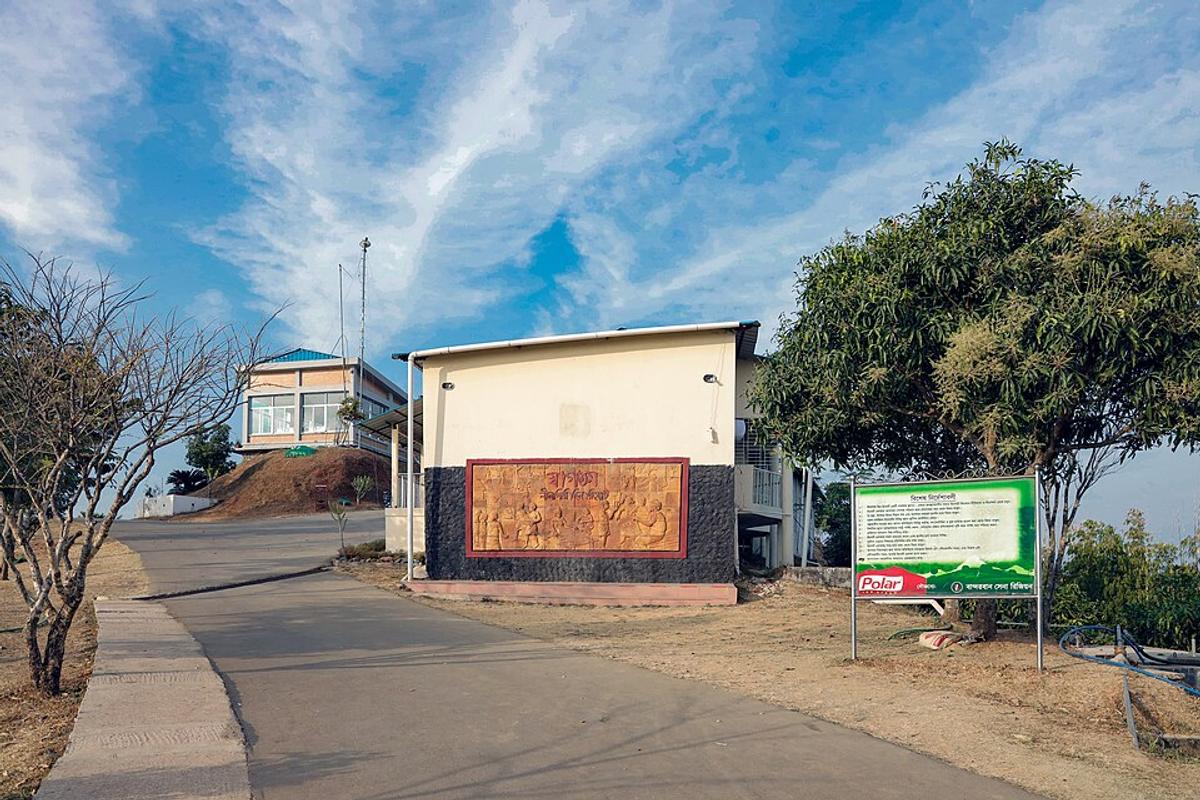
Bandarban Hills
A hill district of forests and waterfalls, popular for trekking.
Photo: Moheen Reeyad / Wikimedia Commons · CC BY-SA 4.0 · Source
Bandarban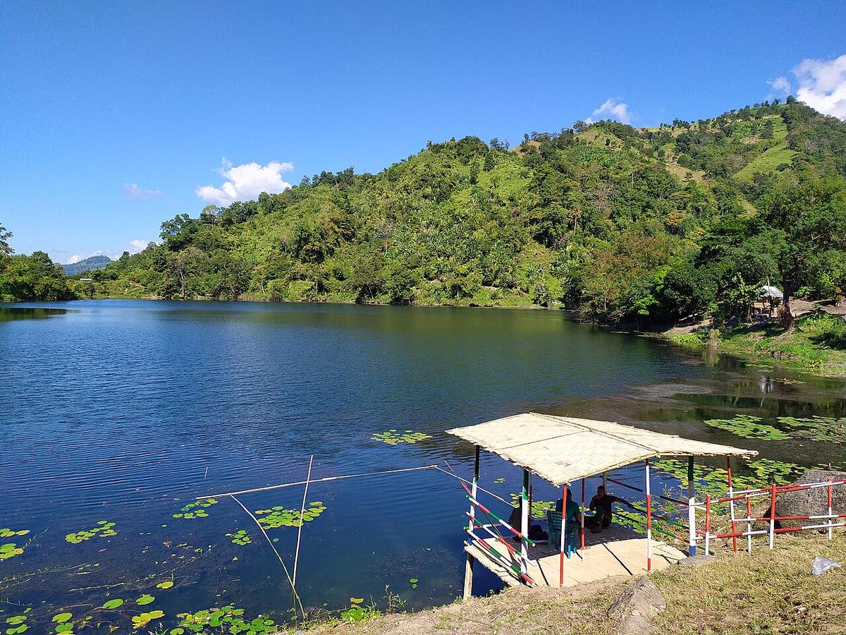
Boga Lake
A lake high in the hills of Bandarban.
Photo: Rocky Masum This work was made by Masum-al-Hasan Rocky and released under the license(s... / Wikimedia Commons · CC BY-SA 4.0 · Source
Bandarban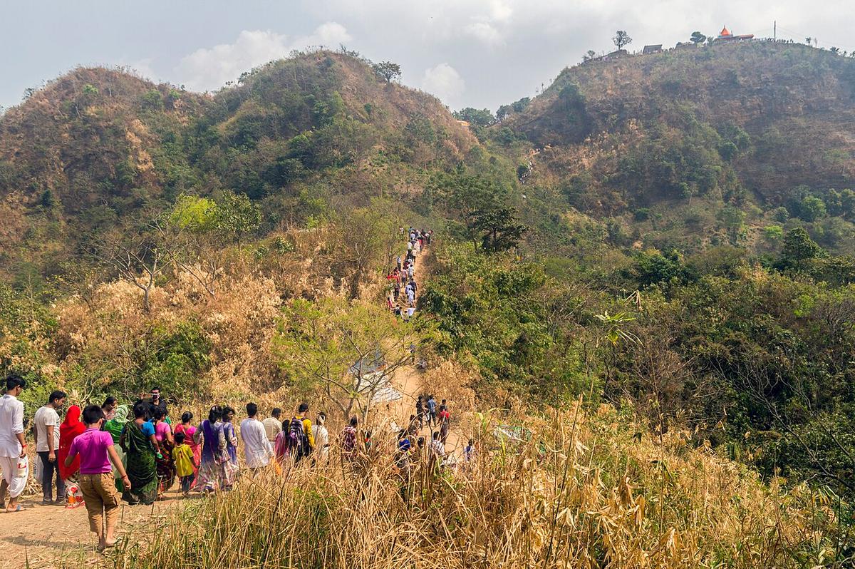
Chandranath Temple
A hilltop temple above Sitakunda, reached by a long climb.
Photo: Kazi Md. Jahirul Islam / Wikimedia Commons · CC BY-SA 4.0 · Source
Chattogram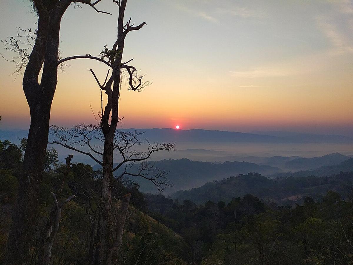
Sajek Valley
A hilltop valley with views of clouds and green ridges.
Photo: Rocky Masum / Wikimedia Commons · CC BY-SA 4.0 · Source
RangamatiFAQ
What is Keokradong known for?
Keokradong is a peak in Bandarban, about 986 m (3,235 ft) high by handheld GPS; a Bangladesh Army signboard at the top gives 967 m. It is often described as the highest point in Bangladesh, but that is not correct: the highest point is Saka Haphong.
Where is Keokradong?
Keokradong is in Bandarban in Bangladesh.
What kind of place is Keokradong?
It is a Hills destination.
When is the best time to visit Keokradong?
We don't have verified information on this yet, so no months are given.