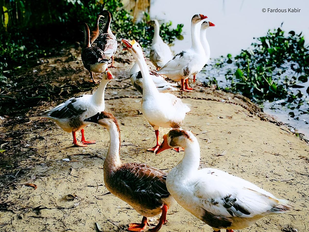
Hakaluki Haor
A large seasonal wetland in Moulvibazar and Sylhet.
Photo: Grisly09 / Wikimedia Commons · CC BY-SA 4.0 · Source
MaulvibazarMoulvibazar lies in the south-east of Sylhet Division, bordered by Sylhet and Habiganj districts and by the Indian states of Assam and Tripura. Its rolling hills hold a large share of Bangladesh's tea gardens, which is why its Sreemangal upazila is often called the country's tea capital. The district covers about 2,799 km² with around 2.12 million people (2022 census). Lawachara National Park, Madhabkunda waterfall and the wide wetland of Hakaluki Haor are its best-known natural sights, and Sreemangal and Kulaura are stops on the railway.
Sources: Wikipedia: Moulvibazar District · facts checked Oct 7, 2026
Sources: Wikipedia: List of districts of Bangladesh (area, 2022 census) · facts checked Oct 7, 2026
A large seasonal wetland in Moulvibazar and Sylhet.
Photo: Grisly09 / Wikimedia Commons · CC BY-SA 4.0 · Source
Maulvibazar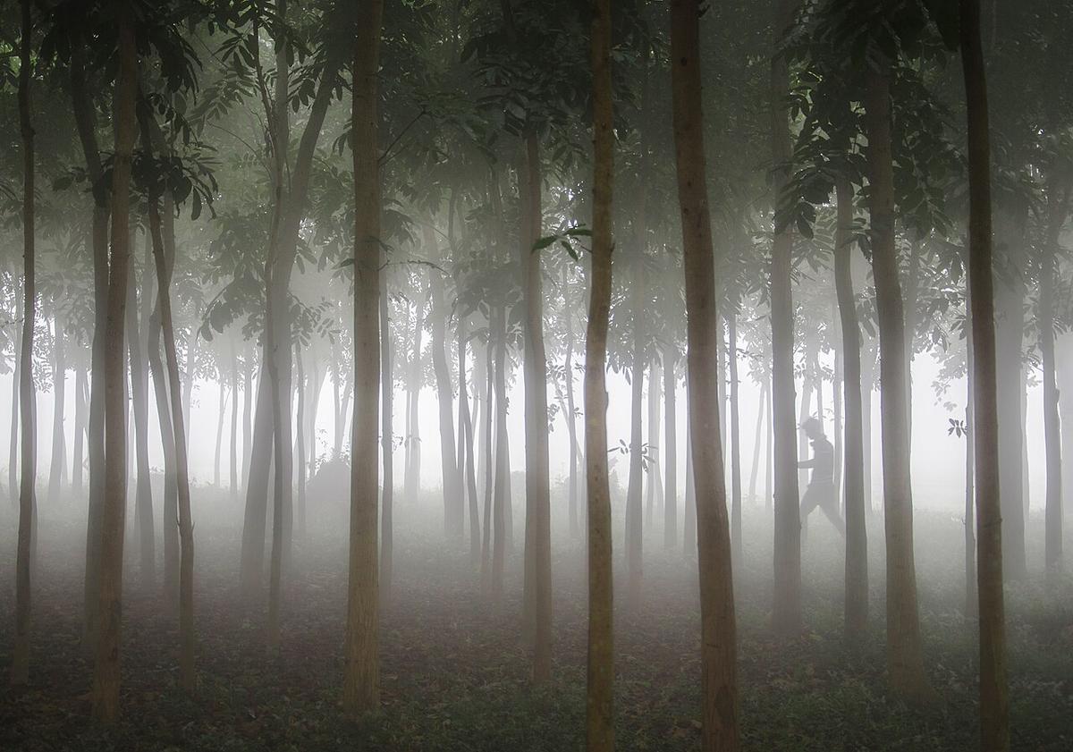
A forest national park near Sreemangal, Moulvibazar.
Photo: Abdulmominbd / Wikimedia Commons · CC BY-SA 4.0 · Source
Maulvibazar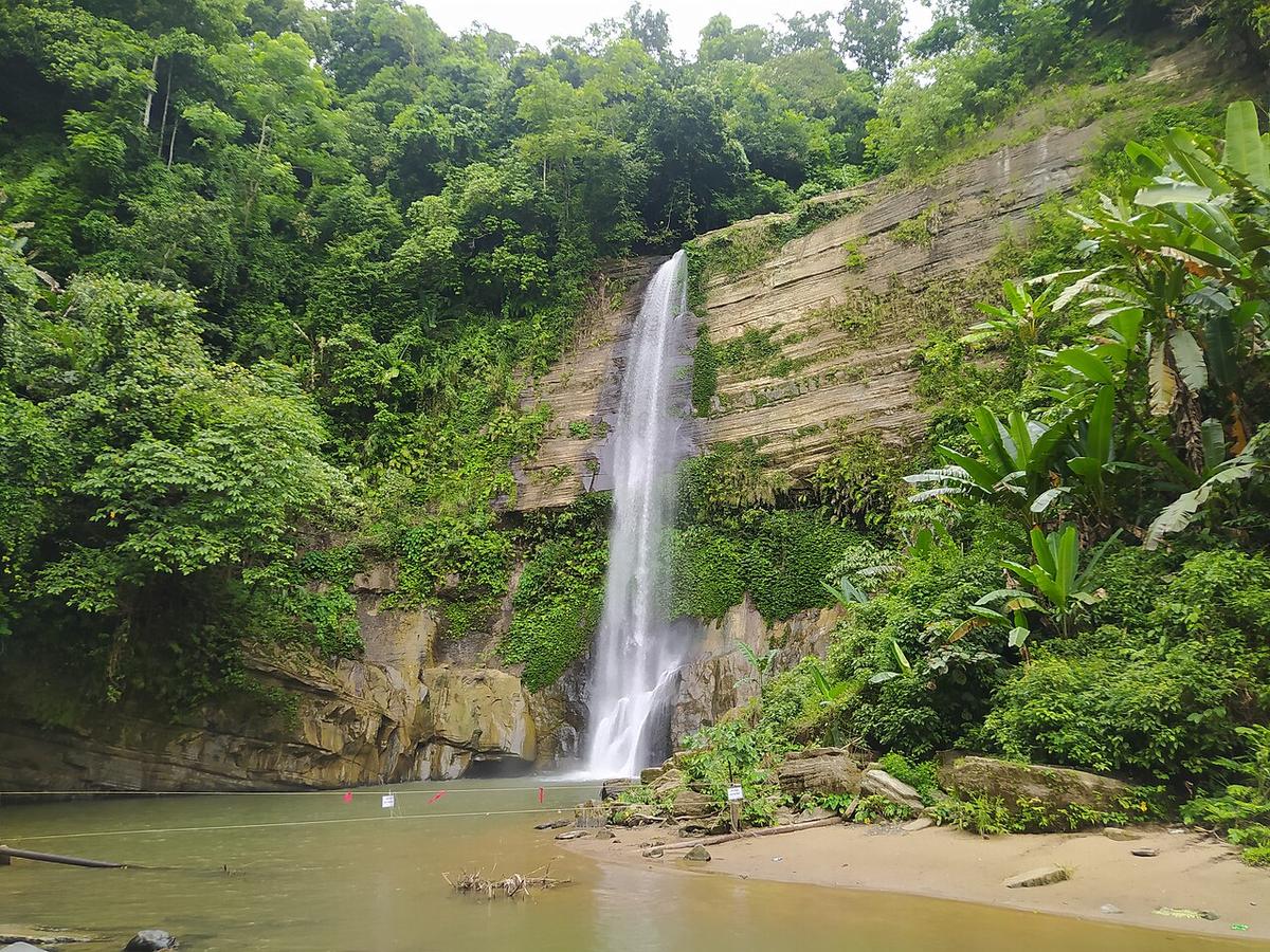
A waterfall in Moulvibazar district.
Photo: Saifulissohel / Wikimedia Commons · CC BY-SA 4.0 · Source
Maulvibazar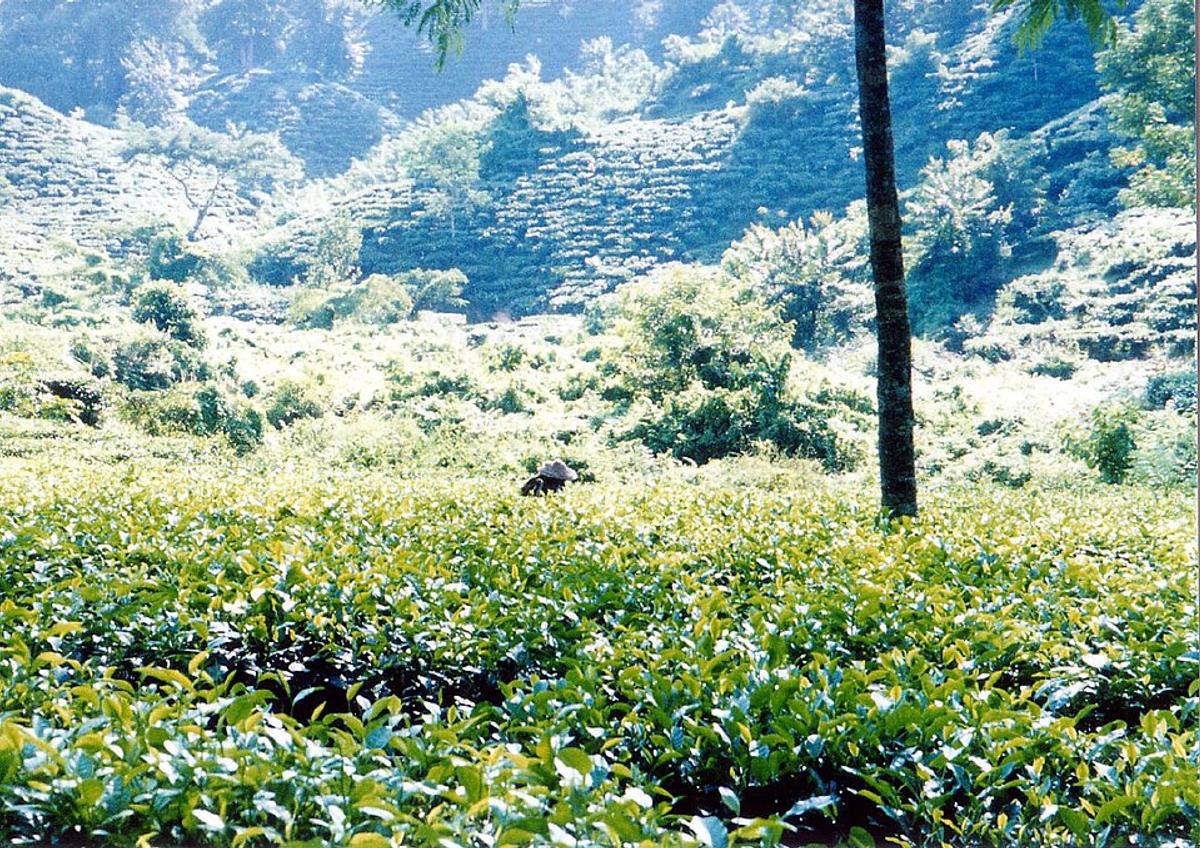
Rows of tea estates across rolling hillocks.
Photo: Bongo Vongo from flickr / Wikimedia Commons · CC BY-SA 2.0 · Source
MaulvibazarMaulvibazar is in Bangladesh's Sylhet Division, one of the country's 64 districts.
Places added to this guide: Hakaluki Haor, Lawachara National Park, Madhabkunda Waterfall, Srimangal Tea Gardens.
We don't have verified information on this yet, so no months are given.
Sreemangal, an upazila of Moulvibazar, is surrounded by tea estates, and the district contains a large share of the country's tea gardens.
Lawachara National Park, Madhabkunda waterfall and Hakaluki Haor, a large seasonal wetland, along with the tea estates around Sreemangal.